St Michael the Archangel's Church

Gallery (1)
Map
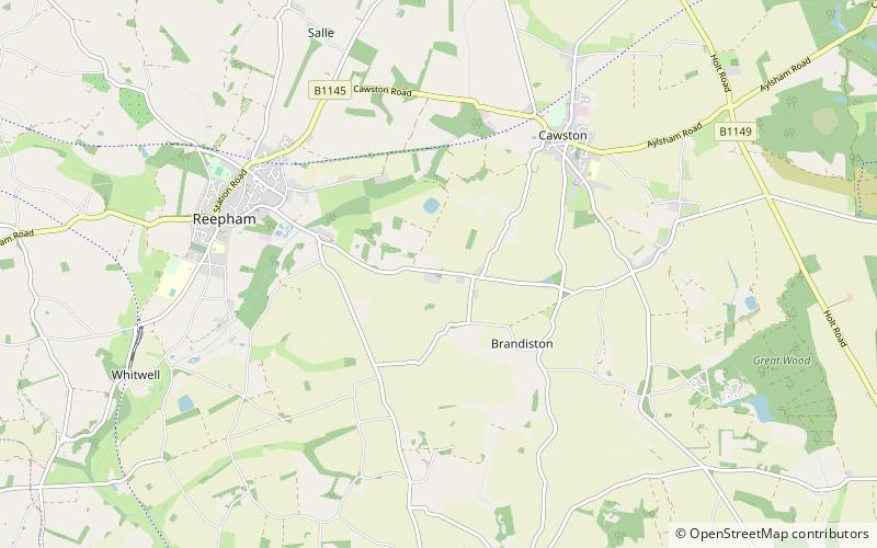
Map
Facts and practical information
St Michael the Archangel's Church is a redundant Anglican church near the village of Booton, Norfolk, England. It is recorded in the National Heritage List for England as a designated Grade II* listed building, and is under the care of the Churches Conservation Trust. The church stands in an isolated position about 1 mile to the east of the village. It is often known as the "Cathedral of the Fields". ()
Architectural style: Gothic revivalCoordinates: 52°45'27"N, 1°8'41"E
Day trips


