The Railway Walks, Lavenham
Map

Map

Facts and practical information
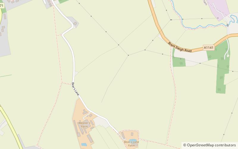
The Railway Walks is a 25.3 hectare Local Nature Reserve which runs along parts of a former railway line between Sudbury and Lavenham in Suffolk. It is owned and managed by Suffolk County Council. ()
Elevation: 249 ft a.s.l.Coordinates: 52°5'60"N, 0°48'0"E
Address
Lavenham
ContactAdd
Social media
Add
Day trips
The Railway Walks – popular in the area (distance from the attraction)
Nearby attractions include: Kentwell Hall, St Peter and St Paul's Church, Holy Trinity Church, Sudbury Baptist Church.
Frequently Asked Questions (FAQ)
Which popular attractions are close to The Railway Walks?
Nearby attractions include Lavenham Priory, Lavenham (14 min walk), St Peter and St Paul's Church, Lavenham (15 min walk), Lavenham Guildhall, Lavenham (20 min walk).


