Gleaston Castle

Gallery (2)
Map
Map
Gallery
Facts and practical information
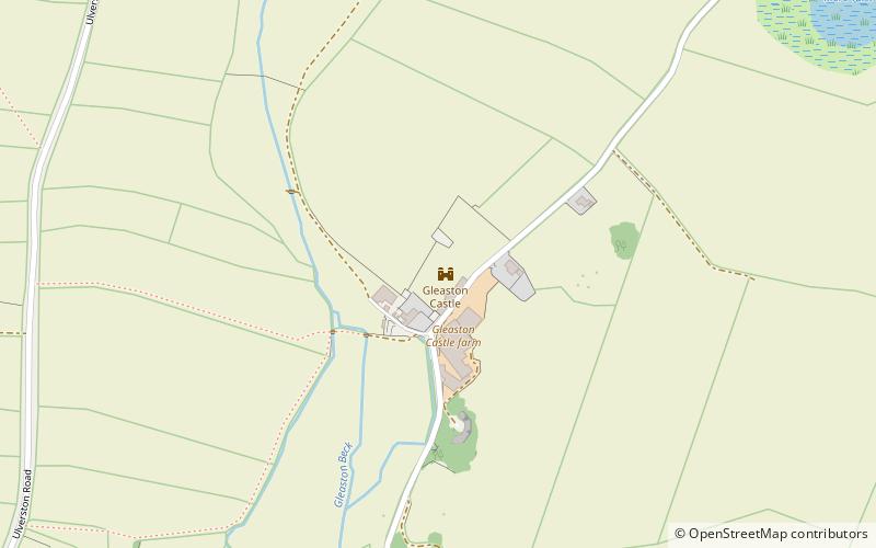
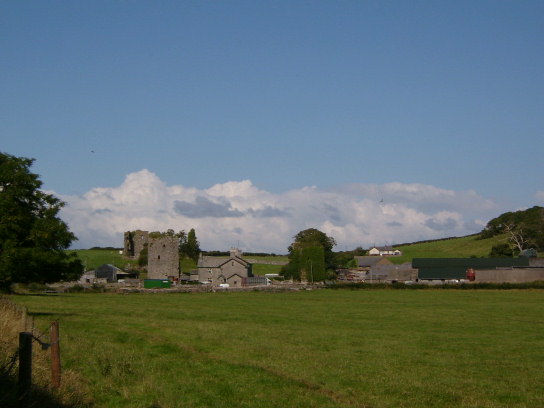
Gleaston Castle is a medieval building in a valley about 1 kilometre north-east of the village of Gleaston. The village lies between the towns of Ulverston and Barrow-in-Furness in the Furness peninsula, Cumbria, England. Gleaston Castle has a quadrilateral plan, with a tower at each corner. The largest of these, the north-west tower, probably housed a hall. ()
Location
England
ContactAdd
Social media
Add
Day trips


