Trek Zone

Bedford Autodrome

#7514 among destinations in the United Kingdom

Sport venue, Sport
Bedford Autodrome location map
Map

Facts and practical information
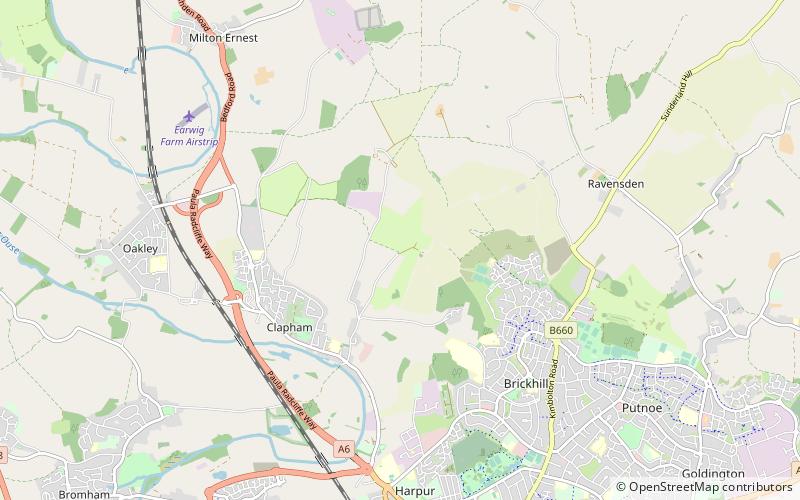
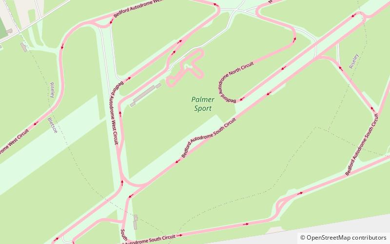
Alternative names: Coordinates: 52°14'1"N, 0°28'20"W
Location

EnglandUnited Kingdom

ContactAdd
Social media
Add
Day trips

Bedford Autodrome – popular in the area (distance from the attraction)

Nearby attractions include: Santa Pod Raceway, Bedford & County Golf Club, Church of St Mary, Church of St Thomas of Canterbury.

  • santa pod raceway rushden5.2 miW
  • bedford county golf club location map
    4.3 miS
  • church of st mary5.5 miSW
  • church of st thomas of canterbury bedford5.1 miS
  • church of st peter3.2 miW
  • church of all saints5.1 miW
  • church of all saints3.2 miSW
  • all saints church4.4 miSE
  • church of all saints1.6 miN
  • st nicholas4.5 miSE
  • saint nicholas3.4 miN

Where to next? Visit england England region page or discover the top tourist attractions in United Kingdom.