Penny Lane, Liverpool
Map

Map

Facts and practical information
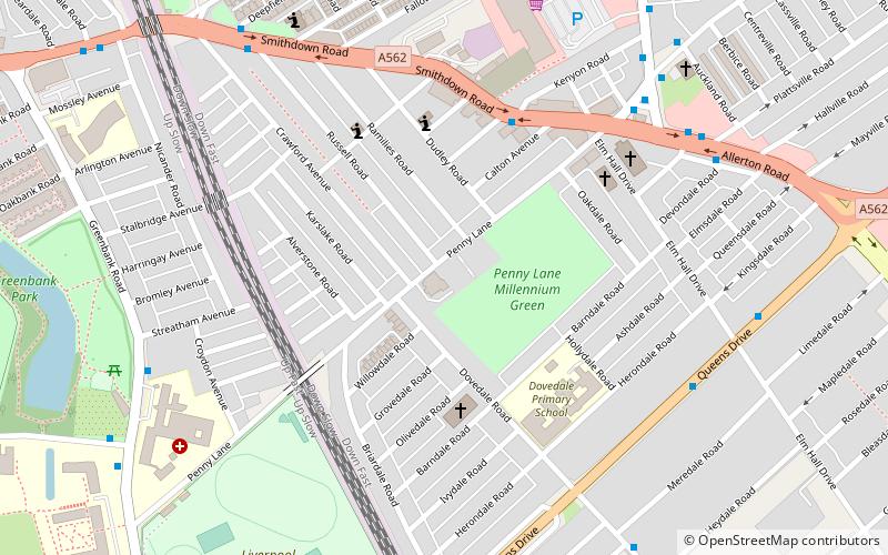
Penny Lane is a street situated south off the A562 road in Liverpool, England. The name also applies to the area surrounding the thoroughfare. During the 20th century, it was the location for one of the main bus terminals in Liverpool, and gained international notability in 1967 when the Beatles released their song "Penny Lane" in tribute to their upbringing in Liverpool. ()
Coordinates: 53°23'14"N, 2°55'7"W
Day trips
Penny Lane – popular in the area (distance from the attraction)
Nearby attractions include: Sefton Park, Calderstones Park, Sudley House, All Hallows.
Frequently Asked Questions (FAQ)
When is Penny Lane open?
Penny Lane is open:
- Monday 9 am - 5 pm
- Tuesday 9 am - 5 pm
- Wednesday 9 am - 5 pm
- Thursday 9 am - 5 pm
- Friday 9 am - 5 pm
- Saturday 9 am - 5 pm
- Sunday 10 am - 4 pm
Which popular attractions are close to Penny Lane?
Nearby attractions include Dovedale Baptist Church, Liverpool (3 min walk), St Barnabas' Church, Liverpool (5 min walk), Greenbank Park, Liverpool (7 min walk), Holy Trinity Church, Liverpool (14 min walk).
How to get to Penny Lane by public transport?
The nearest stations to Penny Lane:
Train
Train
- Mossley Hill (16 min walk)
- Edge Hill (40 min walk)


