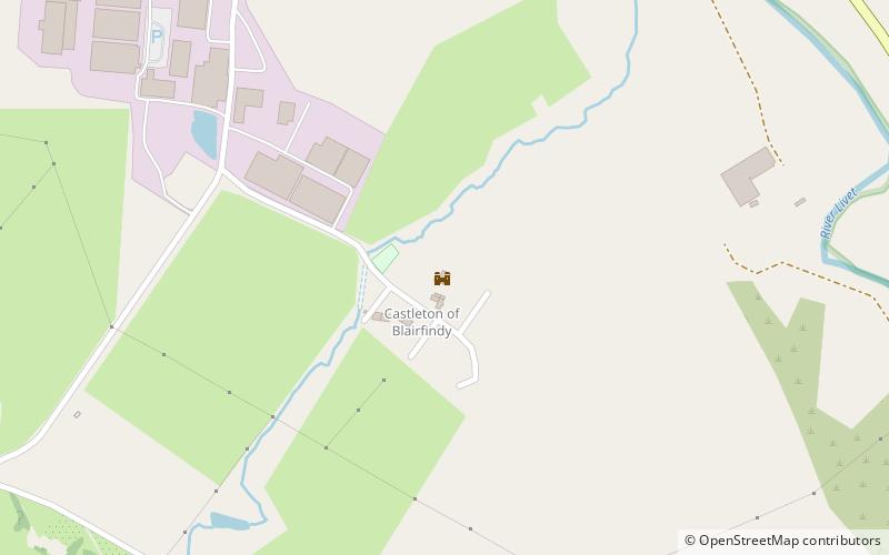
Blairfindy Castle, Cairngorms National Park
Map

Map

Facts and practical information
Blairfindy Castle is an L-plan tower house, dating from the 16th century, around 6.5 miles north of Tomintoul, and west of the River Livet. The tower was a hunting seat of the earls of Huntly. ()
Coordinates: 57°20'28"N, 3°20'1"W
Address
Cairngorms National Park
ContactAdd
Social media
Add
Day trips
Blairfindy Castle – popular in the area (distance from the attraction)
Nearby attractions include: Ballindalloch Castle, Ben Rinnes, Drumin Castle, The Glenlivet distillery.


