Kielder Viaduct
Map

Gallery

Facts and practical information
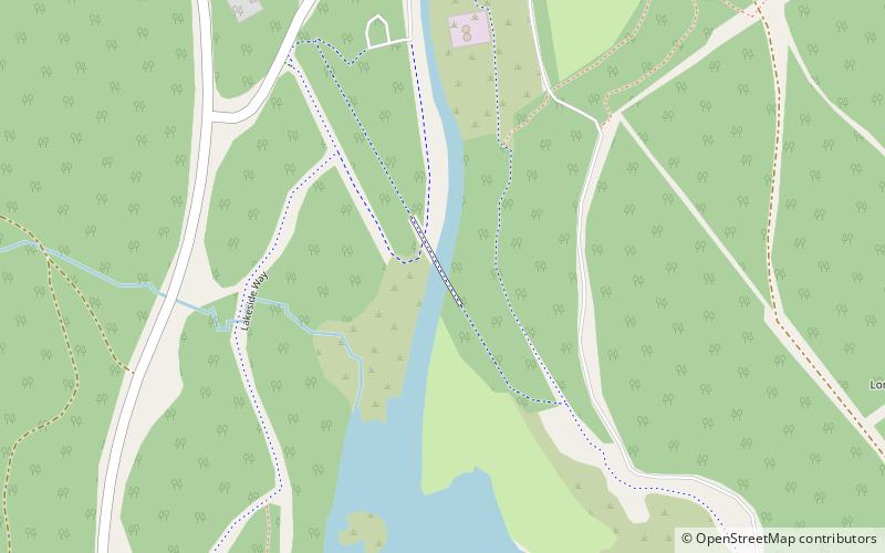
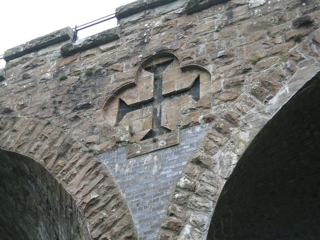
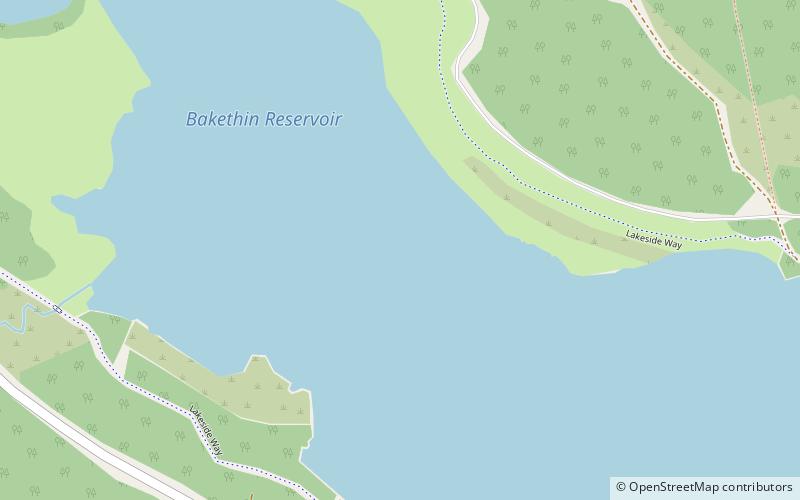
Kielder Viaduct consists of seven semi-circular masonry skew arches and was built in 1862 by the North British Railway to carry the Border Counties Line across marshy land, which following flooding to create Kielder Water, became the place where Deadwater Burn joins Bakethin Reservoir. Now closed to rail traffic, the bridge is currently used as a footpath. ()
Length: 392 ftCoordinates: 55°13'28"N, 2°34'47"W
Location
England
ContactAdd
Social media
Add
Day trips
Kielder Viaduct – popular in the area (distance from the attraction)
Nearby attractions include: Kielder Observatory, Kielder Forest, Bakethin Reservoir.


