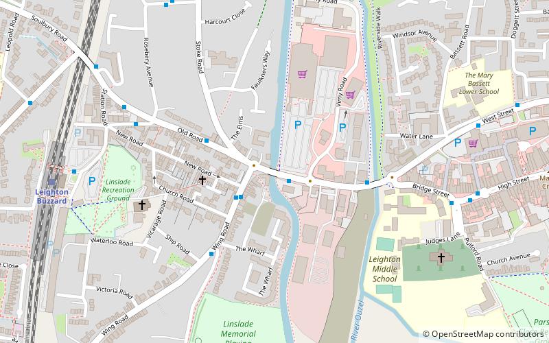
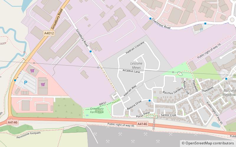
Greensand Ridge Walk, Leighton Buzzard
Map

Map

Facts and practical information
The Greensand Ridge Walk is a long-distance walk of 40 miles that traverses the county of Bedfordshire in England, with brief sections in the neighbouring counties of Cambridgeshire and Buckinghamshire. Its southern endpoint is at Leighton Buzzard and the route runs north-east to finish at Gamlingay. As can be inferred from the name, the walk follows the Bedfordshire Greensand Ridge. ()
Length: 39.77 miSeason: All yearCoordinates: 51°54'59"N, 0°40'13"W
Day trips
Greensand Ridge Walk – popular in the area (distance from the attraction)
Nearby attractions include: Church of All Saints, Linslade, Bedfordshire Greensand Ridge, Church of St Mary.
Frequently Asked Questions (FAQ)
Which popular attractions are close to Greensand Ridge Walk?
Nearby attractions include Church of All Saints, Leighton Buzzard (7 min walk), Linslade, Leighton Buzzard (11 min walk), Parsons Close Recreation Ground, Leighton Buzzard (11 min walk), Linslade Tunnel, Leighton Buzzard (18 min walk).


