Avonmouth Bridge, Bristol
Map

Map

Facts and practical information
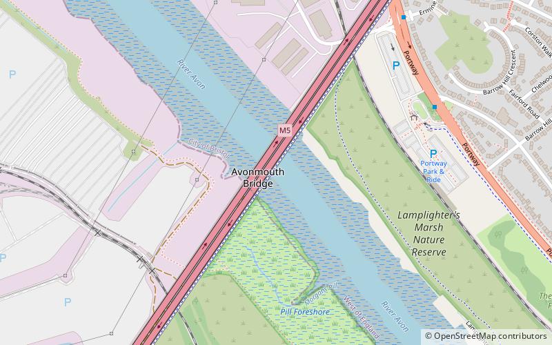
The Avonmouth Bridge is a road bridge that carries the M5 motorway over the River Avon into Somerset near Bristol, England. The main span is 538 ft long, and the bridge is 4,554 ft long, with an air draught above mean high water level of 98.4 ft. It also has a separate footpath and cycleway which connects the B4054 near Avonmouth station with the Royal Portbury Dock and the village of Pill. ()
Opened: 1974 (52 years ago)Length: 4554 ftWidth: 133 ftCoordinates: 51°29'19"N, 2°41'34"W
Address
AvonmouthBristol
ContactAdd
Social media
Add
Day trips
Avonmouth Bridge – popular in the area (distance from the attraction)
Nearby attractions include: Avonmouth, Kings Weston Roman Villa, Royal Portbury Dock, Easton in Gordano.
Frequently Asked Questions (FAQ)
Which popular attractions are close to Avonmouth Bridge?
Nearby attractions include Lamplighters Marsh, Bristol (18 min walk), Easton in Gordano, Bristol (20 min walk), Church of St George, Bristol (20 min walk).
How to get to Avonmouth Bridge by public transport?
The nearest stations to Avonmouth Bridge:
Train
Train
- Shirehampton (18 min walk)
- Avonmouth (21 min walk)


