Banwell Camp, Banwell
Map

Map

Facts and practical information
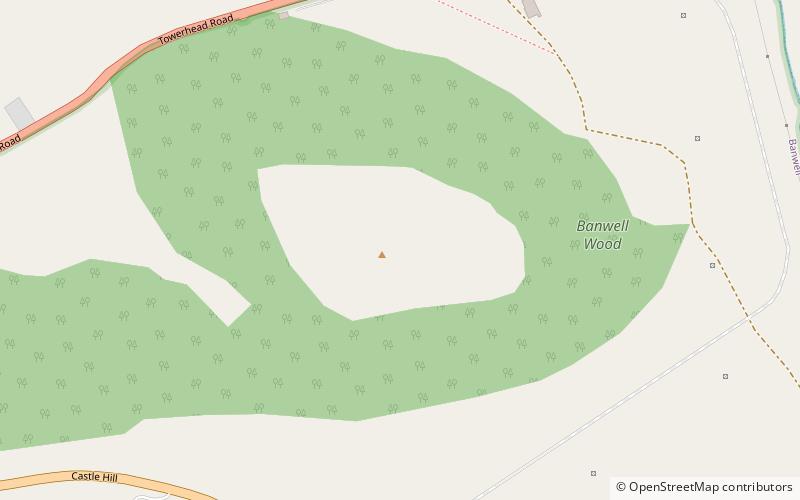
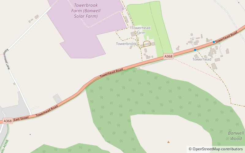
Banwell Camp is a univallate Iron Age hill fort in the North Somerset district of Somerset, England. The hill fort is situated approximately 1.6 miles east from the Village of Banwell. Some artefacts found on the site dates back to the Bronze Age and the Stone Age. In places it is surrounded by a 4 metres high bank and ditch. ()
Coordinates: 51°19'37"N, 2°50'56"W
Address
Banwell
ContactAdd
Social media
Add
Day trips
Banwell Camp – popular in the area (distance from the attraction)
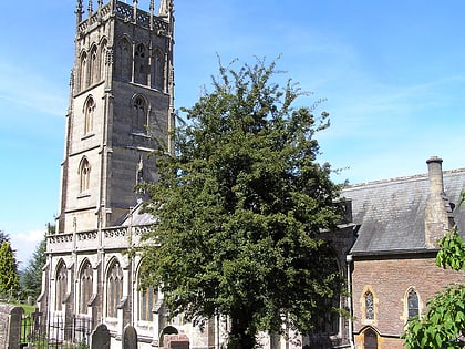
Nearby attractions include: Banwell Castle, St Andrew's Church, Banwell Ochre Caves, Church of St James.
Frequently Asked Questions (FAQ)
Which popular attractions are close to Banwell Camp?
Nearby attractions include Banwell Ochre Caves, Banwell (7 min walk), Banwell Castle, Banwell (14 min walk), St Andrew's Church, Banwell (16 min walk).


