Tennyson Trail, Isle of Wight
Map

Gallery

Facts and practical information
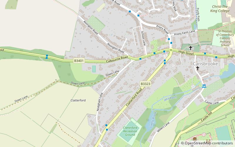
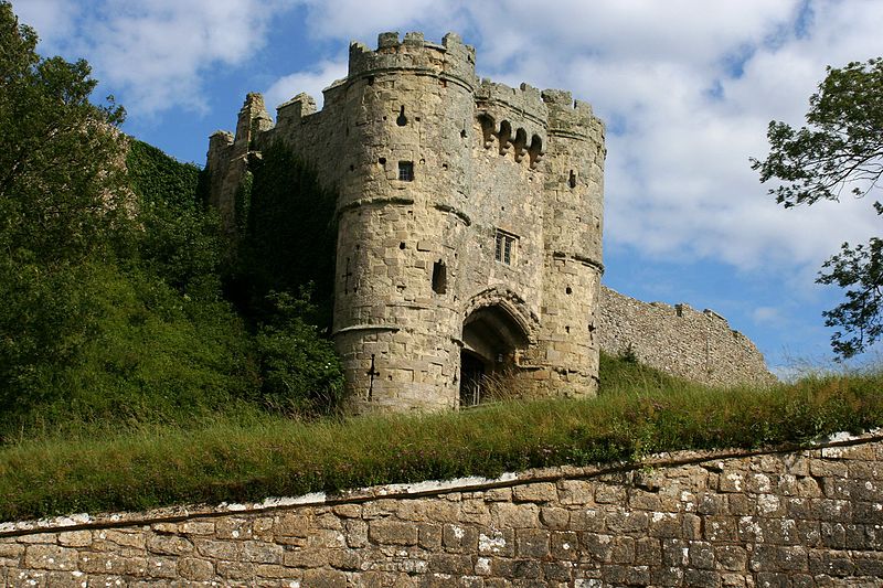
The Tennyson Trail is a 14-mile walk from Carisbrooke to The Needles on the Isle of Wight. The route goes through Bowcombe Down, Brighstone Forest, Mottistone Down, Brook Down, Afton Down, Freshwater Bay, Tennyson Down, and West High Down to Alum Bay. The name of the trail comes from poet Alfred Lord Tennyson, a former resident of the Isle of Wight. ()
Length: 14 miSeason: All yearCoordinates: 50°41'27"N, 1°19'9"W
Address
Isle of Wight
ContactAdd
Social media
Add
Day trips
Tennyson Trail – popular in the area (distance from the attraction)
Nearby attractions include: Carisbrooke Castle, Church of St Nicholas in Castro, The Quay Arts, Newport Guildhall.
Frequently Asked Questions (FAQ)
Which popular attractions are close to Tennyson Trail?
Nearby attractions include St Mary's Church, Newport (7 min walk), Church of St Nicholas in Castro, Isle of Wight (9 min walk), Carisbrooke Castle, Cowes (10 min walk), Priory Grounds, Isle of Wight (16 min walk).
How to get to Tennyson Trail by public transport?
The nearest stations to Tennyson Trail:
Bus
Bus
- Nodgham Lane • Lines: 7 via Wellow (3 min walk)
- The Waverley • Lines: 12, 38, 7 via Shalfleet, 7 via Wellow (5 min walk)


