Tynron Doon
Map

Map

Facts and practical information
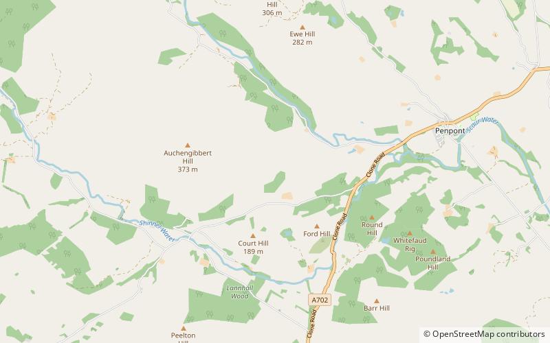
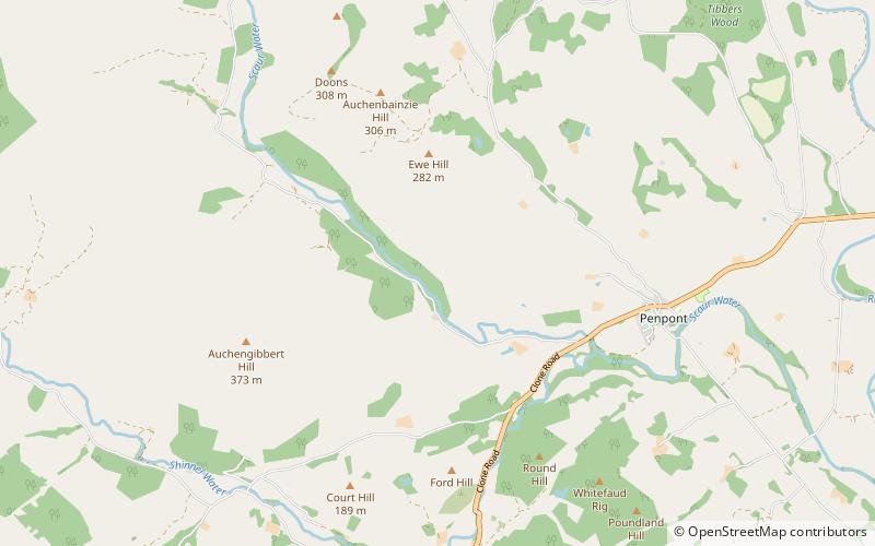
Tynron Doon is a multivallate Iron Age hill fort outside the village of Tynron in Dumfries and Galloway, Scotland. It was occupied on and off from the 1st millennium BC until the 16th century, when an L shaped tower house stood there. Tynron Doon lies at the southern end of the Scaur hills. ()
Coordinates: 55°13'32"N, 3°51'25"W
Location
Scotland
ContactAdd
Social media
Add
Day trips
Tynron Doon – popular in the area (distance from the attraction)
Nearby attractions include: Drumlanrig Castle, Morton Castle, Closeburn Castle, Tibbers Castle.


