Bathampton Down, Cotswold Water Park
Map
Gallery
Facts and practical information
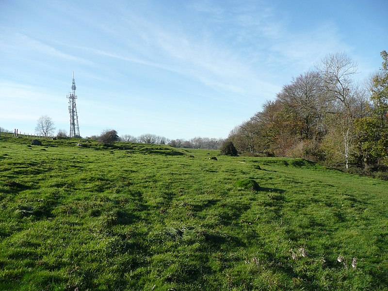
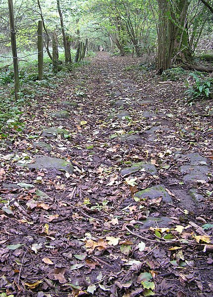
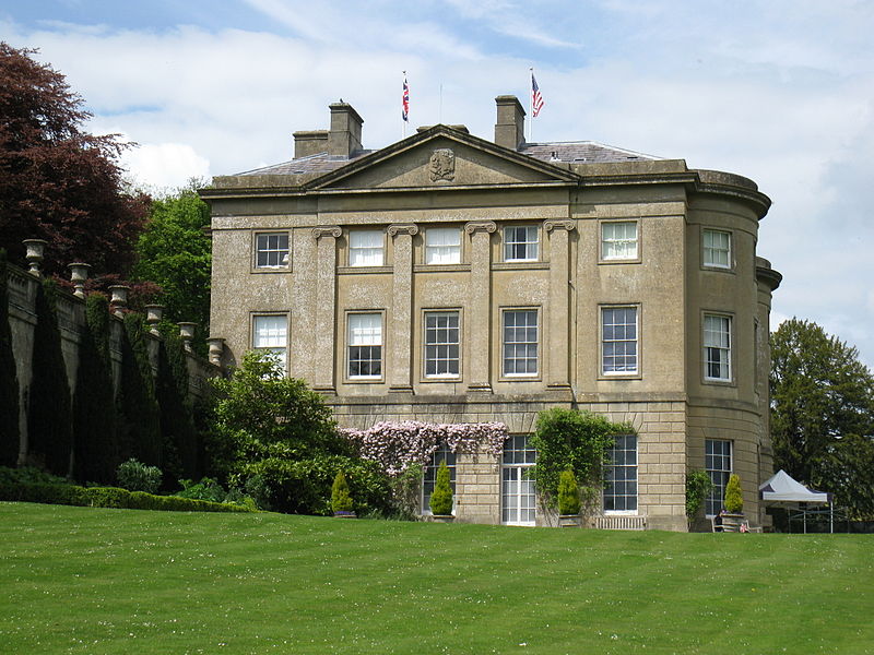
Bathampton Down is a flat limestone plateau in Bathampton, Somerset, England, overlooking the River Avon and the city of Bath. There is evidence of man's activity at the site since the Mesolithic period including Bathampton Camp, an Iron Age hillfort or stock enclosure. It has also been used for quarrying, and part of it is now a golf course. ()
Coordinates: 51°23'3"N, 2°19'39"W
Day trips
Bathampton Down – popular in the area (distance from the attraction)
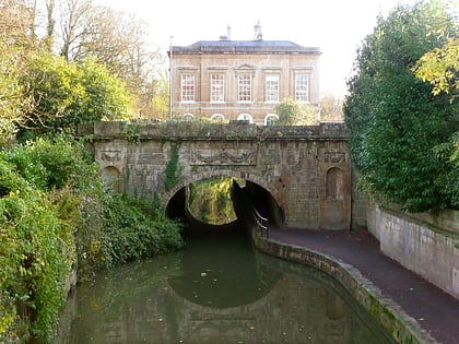
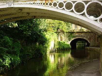
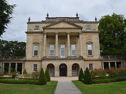
Nearby attractions include: Recreation Ground, Sydney Gardens Tunnels, Sydney Gardens, Holburne Museum.
Frequently Asked Questions (FAQ)
Which popular attractions are close to Bathampton Down?
Nearby attractions include Sham Castle, Bath (12 min walk), University of Bath, Bath (12 min walk), North Road Quarry, Bath (13 min walk), Bath and North East Somerset, Bath (13 min walk).
How to get to Bathampton Down by public transport?
The nearest stations to Bathampton Down:
Bus
Bus
- Arrivals Square • Lines: 18, 418, U18 (10 min walk)
- Woodland Place • Lines: 18, 418, U18 (15 min walk)


