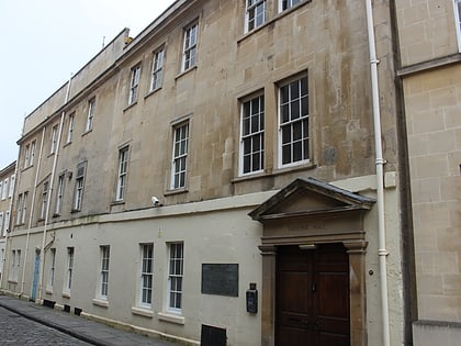
Bathwick Hill, Bath
Map
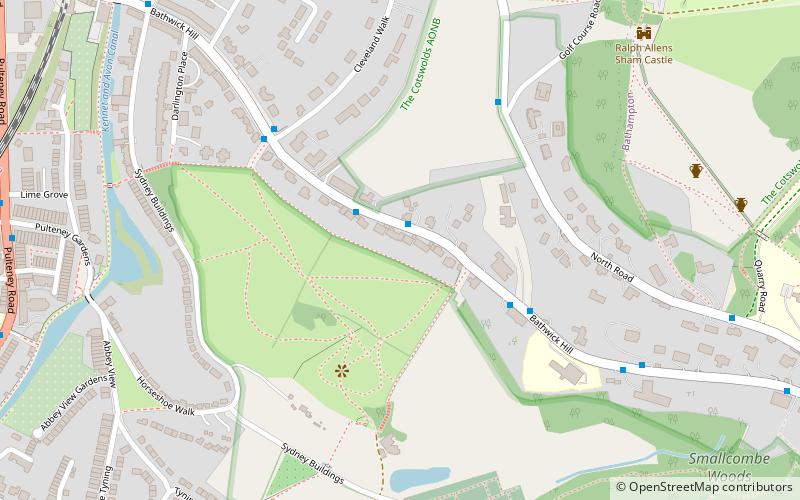
Map

Facts and practical information
Bathwick Hill in Bath, Somerset, England is a street lined with historic houses, many of which are designated as listed buildings. It climbs south east from the A36 towards the University of Bath on Claverton Down, providing views over the city. ()
Coordinates: 51°22'46"N, 2°20'34"W
Address
Bath
ContactAdd
Social media
Add
Day trips
Bathwick Hill – popular in the area (distance from the attraction)
Nearby attractions include: Bath Abbey, Pulteney Bridge, Recreation Ground, Guildhall.
Frequently Asked Questions (FAQ)
Which popular attractions are close to Bathwick Hill?
Nearby attractions include Smallcombe Cemetery, Bath (7 min walk), North Road Quarry, Bath (8 min walk), Sham Castle, Bath (8 min walk), Bath Locks, Bath (11 min walk).
How to get to Bathwick Hill by public transport?
The nearest stations to Bathwick Hill:
Bus
Train
Bus
- White Lodge • Lines: 18, 418, U18 (2 min walk)
- Youth Hostel • Lines: 18, 418, U18 (4 min walk)
Train
- Bath Spa (16 min walk)


