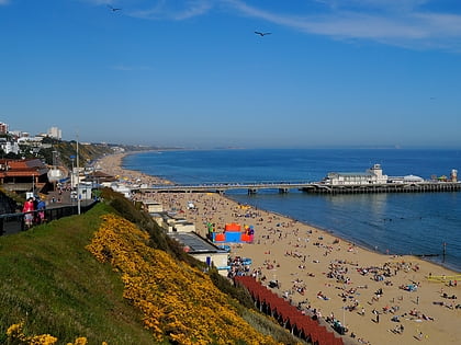
Bournemouth Winter Gardens, Bournemouth
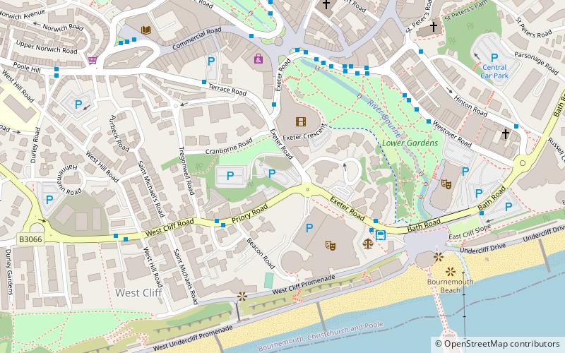
Map
Facts and practical information
Bournemouth Winter Gardens was a theatre located in Bournemouth, England. It was first constructed in 1875 as an exhibition centre, but reopened in 1893 as a popular classical music venue. It was demolished and replaced just prior to World War II and became a popular rock music venue in the 1960s. The Gardens has been closed since 2002 and the site is currently awaiting redevelopment. ()
Coordinates: 50°43'4"N, 1°52'48"W
Address
WestbourneBournemouth
ContactAdd
Social media
Add
Day trips
Bournemouth Winter Gardens – popular in the area (distance from the attraction)
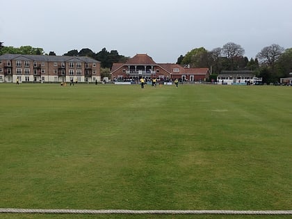
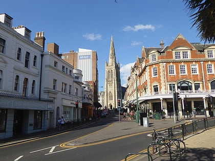
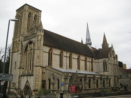
Nearby attractions include: Russell-Cotes Art Gallery & Museum, Dean Park Cricket Ground, Oceanarium, St Peter's Church.
Frequently Asked Questions (FAQ)
Which popular attractions are close to Bournemouth Winter Gardens?
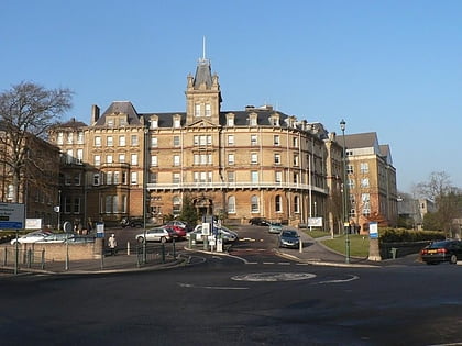
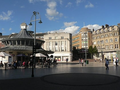
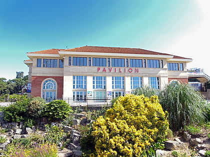
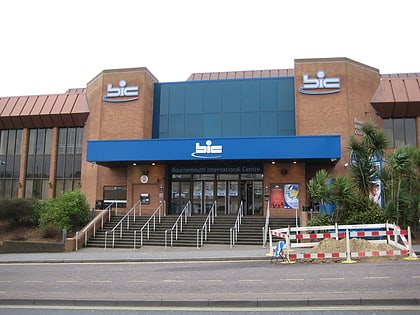
Nearby attractions include Bournemouth International Centre, Bournemouth (3 min walk), The Square, Bournemouth (5 min walk), Oceanarium, Bournemouth (5 min walk), Pavilion Theatre, Bournemouth (6 min walk).
How to get to Bournemouth Winter Gardens by public transport?
The nearest stations to Bournemouth Winter Gardens:
Bus
Train
Bus
- Odeon bh2 • Lines: 1, 12, 1a, 1aN, 1b, 1N, 3, 33, 3N, 3x, 4, 5, 5a, 6 (3 min walk)
- Beacon Road • Lines: 50, 70 (3 min walk)
Train
- Bournemouth (25 min walk)

