Gunton, Lowestoft
Map
Map

Facts and practical information
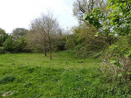
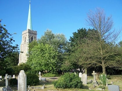
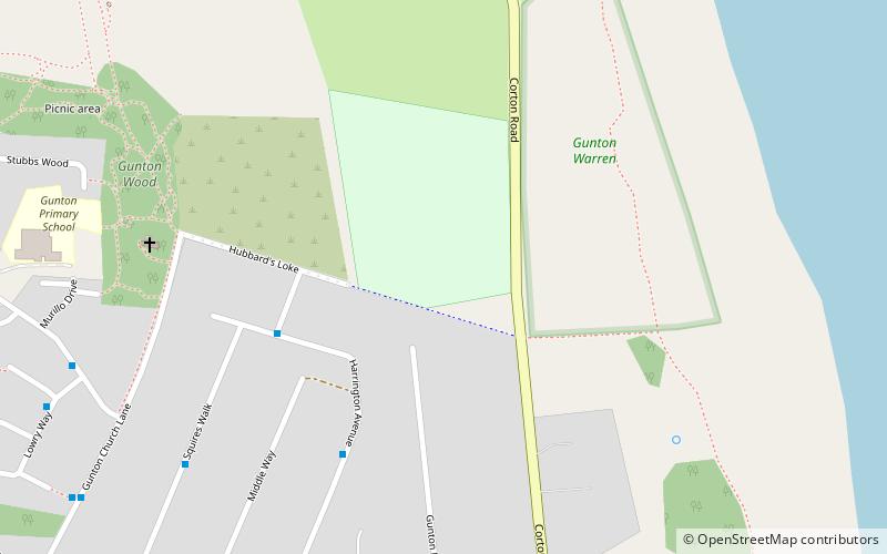
Gunton is a suburb of Lowestoft, in the East Suffolk district, in the English county of Suffolk. Gunton was a small coastal village, but over the years it has been suburbanised. Gunton has an estimated population of 6,640. The main A12 or Yarmouth Road runs through the area. The eastern part of Gunton, from Yarmouth Road to Gunton Cliff, is one of the most affluent parts of Lowestoft, after the North Broads area of Oulton Broad. In 1931 the parish had a population of 110. ()
Address
Lowestoft
ContactAdd
Social media
Add
Day trips
Gunton – popular in the area (distance from the attraction)
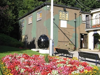
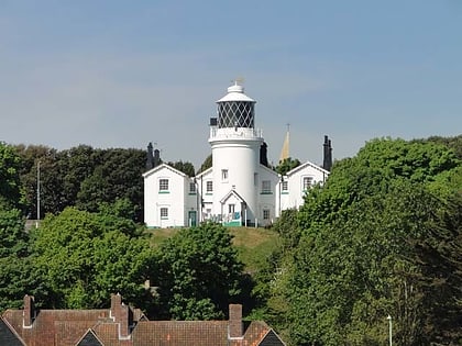
Nearby attractions include: Pleasurewood Hills, Lowestoft Maritime Museum, Lowestoft War Memorial Museum, Lowestoft Lighthouse.
Frequently Asked Questions (FAQ)
Which popular attractions are close to Gunton?
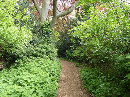
Nearby attractions include Gunton Warren and Corton Woods, Lowestoft (3 min walk), Gunton Wood, Lowestoft (8 min walk), Gunton Meadow, Lowestoft (14 min walk), Pleasurewood Hills, Lowestoft (15 min walk).
How to get to Gunton by public transport?
The nearest stations to Gunton:
Bus
Bus
- St Peter's Avenue • Lines: X1 (14 min walk)
- Tesco • Lines: X1 (17 min walk)


