Battle Edge, Burford

Map
Facts and practical information
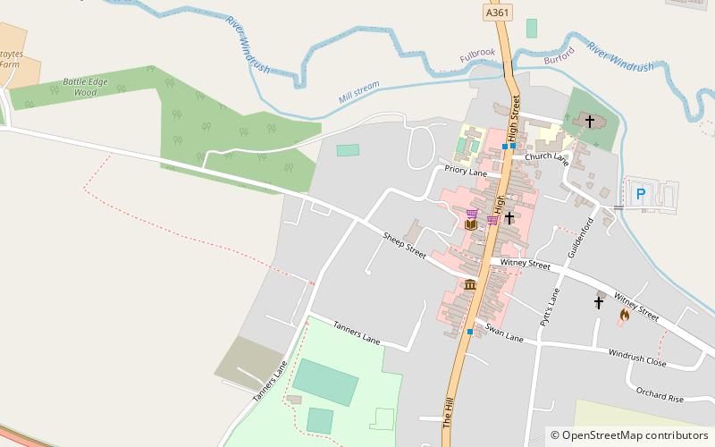
Battle-Edge is a former field, located beside Sheep Street and Tanners Lane, in Burford in Oxfordshire, England where King Æthelbald of Mercia was defeated by King Cuthred of the West Saxons in 752 AD. ()
Elevation: 400 ft a.s.l.Coordinates: 51°48'30"N, 1°38'23"W
Address
Burford
ContactAdd
Social media
Add
Day trips
Battle Edge – popular in the area (distance from the attraction)
Nearby attractions include: Tolsey Museum, Church of St John the Baptist, Burford Methodist Church, Burford Priory.
Frequently Asked Questions (FAQ)
Which popular attractions are close to Battle Edge?
Nearby attractions include Burford Priory, Burford (3 min walk), Tolsey Museum, Burford (4 min walk), Burford Methodist Church, Burford (4 min walk), Church of St John the Baptist, Burford (7 min walk).


