Tobergill
Map

Map

Facts and practical information
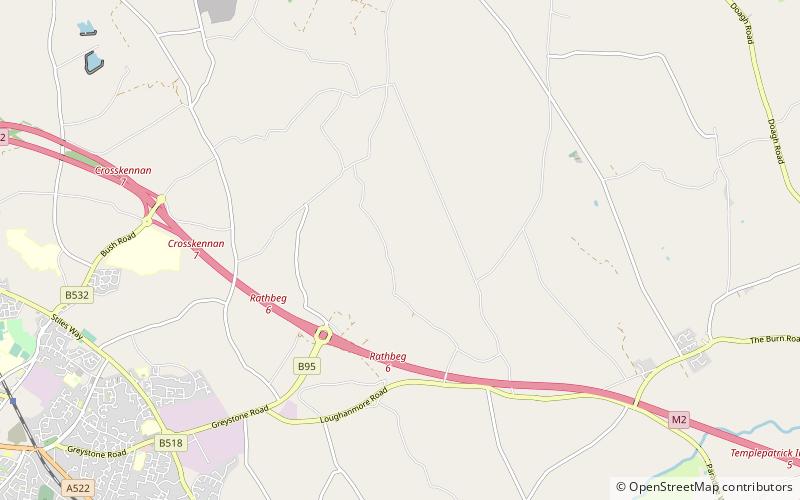
Tobergill is a townland of 1,044 acres in County Antrim, Northern Ireland. Lying on the western aspect of Donegore hill, it is situated in the civil parish of Donegore and the historic barony of Antrim Upper. ()
Coordinates: 54°43'59"N, 6°8'42"W
Location
Northern Ireland
ContactAdd
Social media
Add
Day trips
Tobergill – popular in the area (distance from the attraction)
Nearby attractions include: Massereene Golf Club, Ballyclare Golf Club, Antrim Castle, Shane's Castle.


