De Aston School, Market Rasen
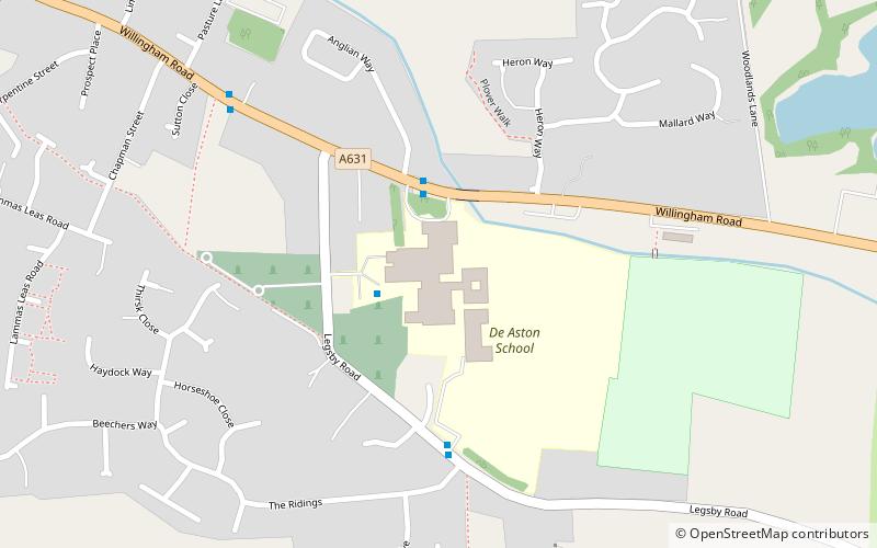
Map
Facts and practical information
De Aston School is a mixed secondary school with academy status in Market Rasen, Lincolnshire, England. It also has a sixth form but no longer has a boarding house as of 2020, following the country's decision to leave the European Union, due to its declining popularity and dwindling funds. The school has a broad Christian ethos but accommodates those of other faiths. ()
Coordinates: 53°23'1"N, 0°19'32"W
Day trips


Frequently Asked Questions (FAQ)
Which popular attractions are close to De Aston School?
Nearby attractions include Market Rasen Racecourse, Market Rasen (17 min walk), Holy Rood Church, Market Rasen (19 min walk).