Berryden, Aberdeen

Map
Facts and practical information
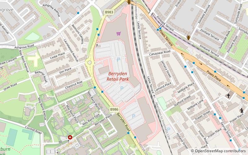
Berryden is an area of Aberdeen quite near to the city centre. ()
Elevation: 102 ft a.s.l.Coordinates: 57°9'26"N, 2°6'51"W
Address
Unit 1a Sainsburys plc. Berryden Retail Park. BerrydenMidstocket - Rosemount (Rosemount)Aberdeen
Contact
Social media
Add
Day trips
Berryden – popular in the area (distance from the attraction)
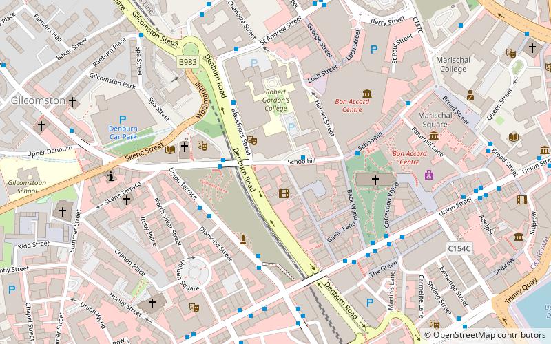
Nearby attractions include: Bon Accord & St Nicholas, Aberdeen Sports Village, Triple Kirks, Belmont Filmhouse.
Frequently Asked Questions (FAQ)
Which popular attractions are close to Berryden?
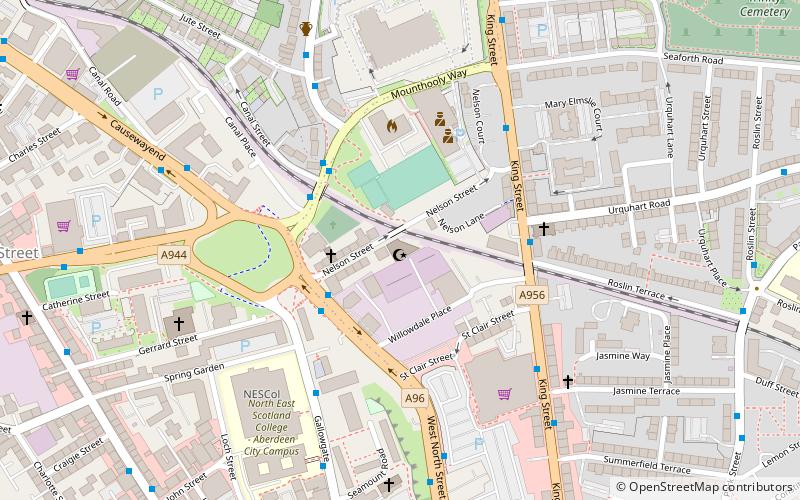
Nearby attractions include George Street, Aberdeen (7 min walk), Westburn Park, Aberdeen (10 min walk), Victoria Park, Aberdeen (12 min walk), Kittybrewster, Aberdeen (14 min walk).
How to get to Berryden by public transport?
The nearest stations to Berryden:
Bus
Train
Bus
- Erskine Street • Lines: 727 (4 min walk)
- Calsayseat Road • Lines: 727 (5 min walk)
Train
- Aberdeen (30 min walk)


