Blackfriars Bridge, Manchester
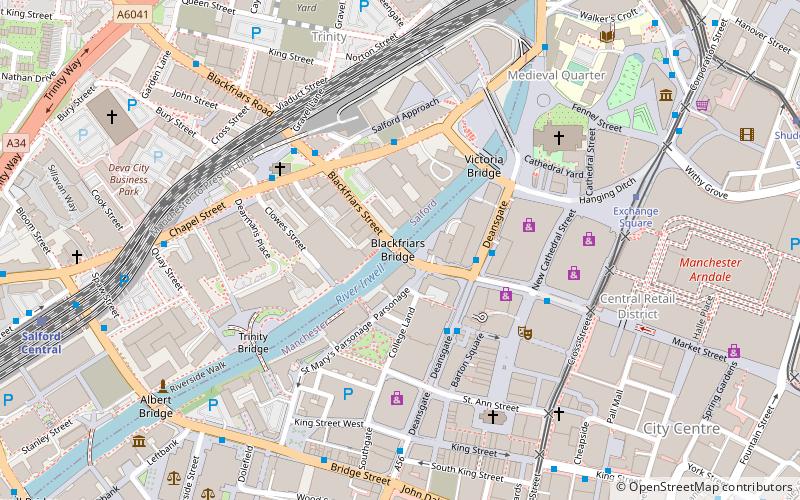
Map

Gallery

Facts and practical information
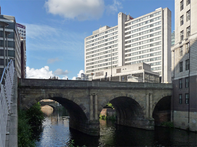
Blackfriars Bridge is a stone arch bridge in Greater Manchester, England. Completed in 1820, it crosses the River Irwell, connecting Salford to Manchester. ()
Opened: 1820 (206 years ago)Coordinates: 53°29'2"N, 2°14'52"W
Address
Salford (City Centre)Manchester
ContactAdd
Social media
Add
Day trips
Blackfriars Bridge – popular in the area (distance from the attraction)
Nearby attractions include: King Street, Corporation Street, Manchester Arndale, Manchester Cathedral.
Frequently Asked Questions (FAQ)
Which popular attractions are close to Blackfriars Bridge?
Nearby attractions include 86 Deansgate, Manchester (3 min walk), Victoria Bridge, Manchester (3 min walk), New Cathedral Street, Manchester (4 min walk), Royal Exchange Theatre, Manchester (4 min walk).
How to get to Blackfriars Bridge by public transport?
The nearest stations to Blackfriars Bridge:
Bus
Tram
Train
Bus
- DEANSGATE/St Mary's Gate • Lines: 2, 2 (peak), X43 (2 min walk)
- Deansgate/Barton Arcade • Lines: 1, 2, 2 (peak) (3 min walk)
Tram
- Exchange Square • Lines: EDid, Roch, Shaw (6 min walk)
- Shudehill • Lines: Airp, Altr, Bury, Picc, Vict (10 min walk)
Train
- Salford Central (9 min walk)
- Manchester Victoria (10 min walk)

 Metrolink
 Metrolink / Rail


