Dunton Plotlands, Basildon

Gallery (2)
Map
Map
Gallery
Facts and practical information
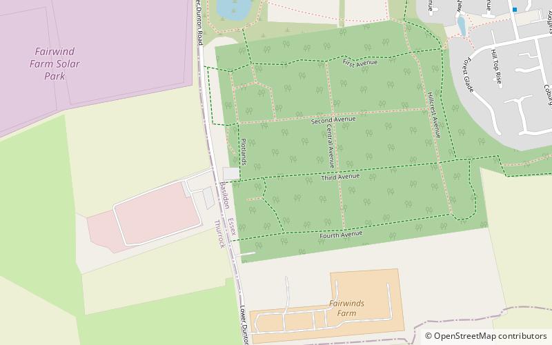
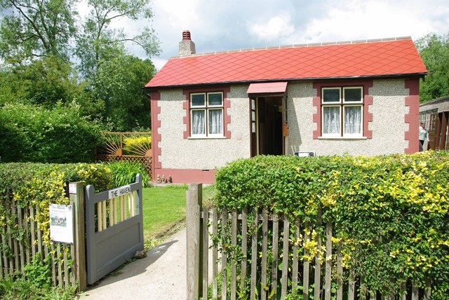
The Dunton Plotlands was an area of small rural plots of land in Dunton Wayletts, southern Essex inhabited from the 1930s to the 1980s. ()
Coordinates: 51°33'40"N, 0°23'40"E
Address
Langdon HillsBasildon
ContactAdd
Social media
Add
Getting there by public transportation
Public transportation stops near this location
- Bus
 Bus
Bus
- Calculate routeDerby Close 10 min walk
- Calculate routeHollybank 12 min walk
- Calculate routeAylesbury Drive 14 min walk
- Calculate routeTesco Langdon Hills 15 min walk
Day trips


Frequently Asked Questions (FAQ)
How to get to Dunton Plotlands by public transport?
The nearest stations to Dunton Plotlands:
Bus
Bus
- Derby Close • Lines: 104, 106 (10 min walk)
- Hollybank • Lines: 104, 106 (12 min walk)