Bordesley Junction, Birmingham
Map

Gallery

Facts and practical information
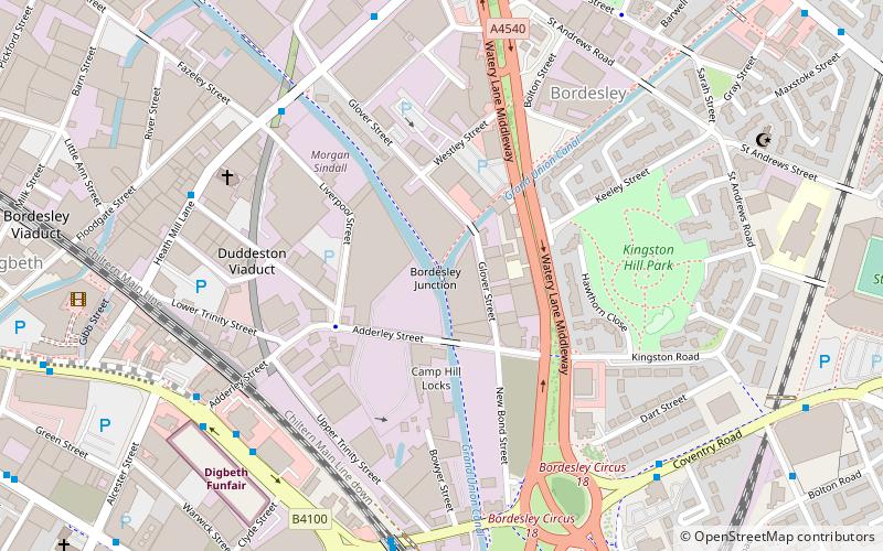
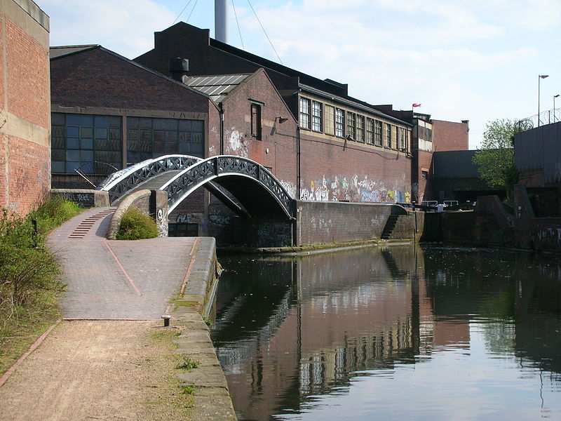
Bordesley Junction is a canal junction where the Grand Union Canal splits near to Bordesley, Birmingham, England. It opened in 1844, when the Birmingham and Warwick Junction Canal was built as part of a scheme to bypass the congestion at the Farmers Bridge flight of locks. ()
Coordinates: 52°28'33"N, 1°52'38"W
Address
NechellsBirmingham
ContactAdd
Social media
Add
Day trips
Bordesley Junction – popular in the area (distance from the attraction)
Nearby attractions include: Bull Ring, The Institute, Selfridges, St Andrew's Stadium.
Frequently Asked Questions (FAQ)
Which popular attractions are close to Bordesley Junction?
Nearby attractions include Birmingham and Warwick Junction Canal, Birmingham (1 min walk), St Basil's Church, Birmingham (5 min walk), Eastside Projects, Birmingham (6 min walk), Deritend, Birmingham (8 min walk).
How to get to Bordesley Junction by public transport?
The nearest stations to Bordesley Junction:
Bus
Train
Tram
Bus
- High St / Adderley St • Lines: X1, X2 (6 min walk)
- Coventry Rd / Bordesley Rail Station • Lines: X1, X2 (6 min walk)
Train
- Bordesley (7 min walk)
- Birmingham Moor Street (17 min walk)
Tram
- Corporation Street • Lines: 1 (23 min walk)
- Bull Street • Lines: 1 (24 min walk)


