Bourne–Morton Canal, Bourne

Map
Facts and practical information
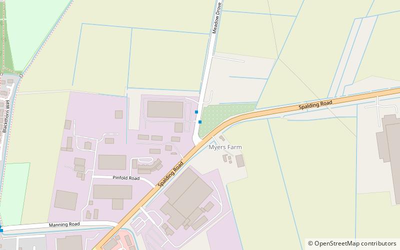
The Bourne–Morton Canal is an archaeological feature to the north-east of Bourne in Lincolnshire, England. In old maps and documents, it is known as the Old Ea. It was a 6.5 km artificial waterway linking the dry ground at Bourne to the ancient sea edge near Pinchbeck, or perhaps to a navigable estuary in the area. There is now no visible trace. ()
Coordinates: 52°46'15"N, 0°21'33"W
Address
Bourne
ContactAdd
Social media
Add
Day trips
Bourne–Morton Canal – popular in the area (distance from the attraction)
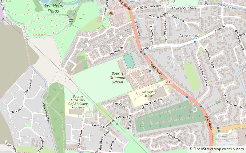
Nearby attractions include: Abbey Lawn, Bourne Abbey, Bourne Castle, Bourne Grammar School.
Frequently Asked Questions (FAQ)
Which popular attractions are close to Bourne–Morton Canal?
Nearby attractions include Bourne Abbey, Bourne (20 min walk), Bourne Grammar School, Bourne (23 min walk), Bourne Castle, Bourne (23 min walk).


