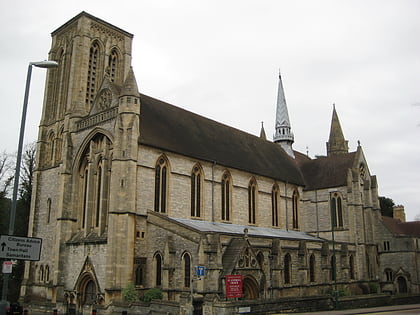
Bournemouth Reform Synagogue, Bournemouth
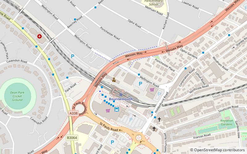
Map
Map

Facts and practical information
Bournemouth Reform Synagogue, also known as BRS, is a Reform Jewish synagogue of over 500 members in the heart of Bournemouth, England. ()
Coordinates: 50°43'41"N, 1°51'50"W
Day trips
Bournemouth Reform Synagogue – popular in the area (distance from the attraction)
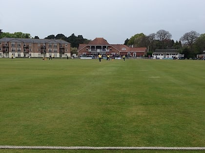
Nearby attractions include: O2 Academy Bournemouth, Russell-Cotes Art Gallery & Museum, Dean Park Cricket Ground, Oceanarium.
Frequently Asked Questions (FAQ)
Which popular attractions are close to Bournemouth Reform Synagogue?
Nearby attractions include Bournemouth Hebrew Congregation, Bournemouth (15 min walk), South East Dorset conurbation, Bournemouth (15 min walk), Wimborne Road Cemetery, Bournemouth (15 min walk), Springbourne, Bournemouth (17 min walk).
How to get to Bournemouth Reform Synagogue by public transport?
The nearest stations to Bournemouth Reform Synagogue:
Bus
Train
Bus
- Wellington Road, Royal Mail • Lines: U1 (2 min walk)
- Bournemouth Rail Station • Lines: 13, 17, 3, 32, 3N, 3x, 4, 5, 50, 5a, 6, 6N, 737, m1 (2 min walk)
Train
- Bournemouth (2 min walk)


