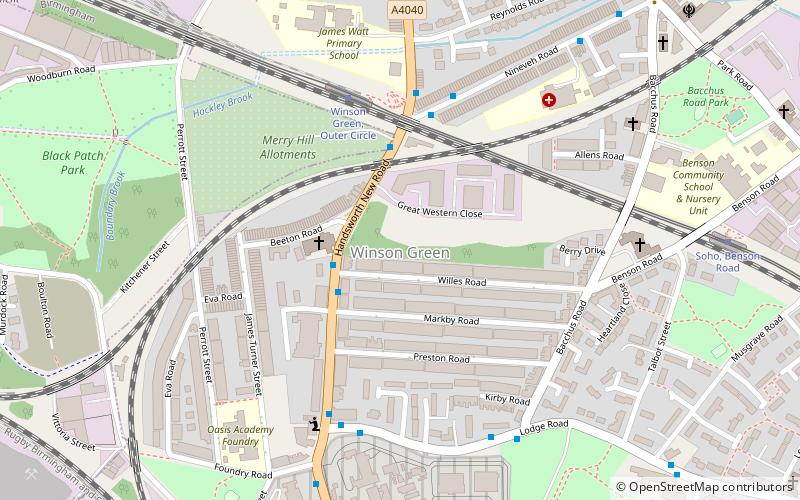
Winson Green, Birmingham
Map

Map

Facts and practical information
Winson Green is a loosely defined inner-city area in the west of the city of Birmingham, England. It is part of the ward of Soho. ()
Coordinates: 52°29'49"N, 1°56'17"W
Address
SohoBirmingham
ContactAdd
Social media
Add
Day trips
Winson Green – popular in the area (distance from the attraction)
Nearby attractions include: Edgbaston Reservoir, Museum of the Jewellery Quarter, Handsworth Park, St Mary's Church.
Frequently Asked Questions (FAQ)
Which popular attractions are close to Winson Green?
Nearby attractions include Bishop Latimer Memorial Church, Birmingham (2 min walk), Black Patch Park, Birmingham (7 min walk), Centre of the Earth, Birmingham (11 min walk), Soho Loop, Birmingham (15 min walk).
How to get to Winson Green by public transport?
The nearest stations to Winson Green:
Tram
Bus
Train
Tram
- Winson Green, Outer Circle • Lines: 1 (4 min walk)
- Soho, Benson Road • Lines: 1 (8 min walk)
Bus
- Boulton Rd / Soho Rd • Lines: Sb (12 min walk)
- Saint Vincent St / King Edwards Rd • Lines: X8 (38 min walk)
Train
- Jewellery Quarter (29 min walk)
- The Hawthorns (33 min walk)


