Devon County Council, Exeter
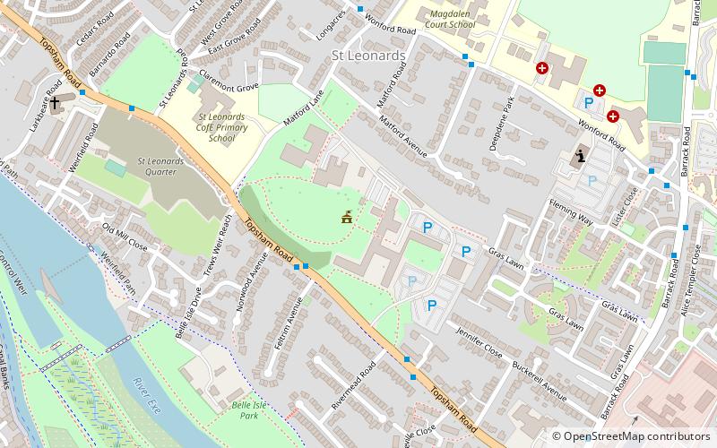
Map
Map

Facts and practical information
Devon County Council is the county council administering the English county of Devon. Based in the city of Exeter, the council covers the non-metropolitan county area of Devon. Members of the council are elected every four years to represent the electorate of each county division, almost all being nominated by the major national political parties. ()
Coordinates: 50°42'54"N, 3°31'5"W
Day trips
Devon County Council – popular in the area (distance from the attraction)
Nearby attractions include: Exeter Cathedral, Princesshay, Devon County War Memorial, St Mary Steps.
Frequently Asked Questions (FAQ)
Which popular attractions are close to Devon County Council?
Nearby attractions include St James Priory, Exeter (12 min walk), Cygnet Theatre, Exeter (15 min walk), St Luke's Campus, Exeter (16 min walk), Exeter Quay, Exeter (17 min walk).
How to get to Devon County Council by public transport?
The nearest stations to Devon County Council:
Bus
Train
Bus
- Rivermead Road • Lines: T (5 min walk)
- Church • Lines: T (9 min walk)
Train
- Exeter St Thomas (24 min walk)
- Exeter Central (27 min walk)
