Bridgend Industrial Estate, Bridgend
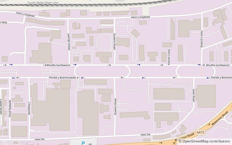
Map
Facts and practical information
Bridgend Industrial Estate is a large industrial park complex in Bridgend, Wales. ()
Elevation: 56 ft a.s.l.Coordinates: 51°29'59"N, 3°33'10"W
Address
Bridgend
ContactAdd
Social media
Add
Getting there by public transportation
Public transportation stops near this location
- Bus
- Train
 Bus
Bus
- Calculate routeBridgend 28 min walk
- Calculate routeBridgend Bus Station 33 min walk
Day trips


Frequently Asked Questions (FAQ)
How to get to Bridgend Industrial Estate by public transport?
The nearest stations to Bridgend Industrial Estate:
Train
Bus
Train
- Bridgend (28 min walk)
Bus
- Bridgend Bus Station (33 min walk)