Brighton Regency Synagogue, Brighton
Map
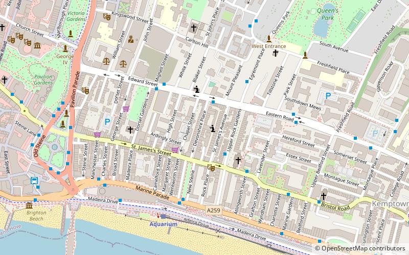
Map

Facts and practical information
Brighton Regency Synagogue is a Regency building in Devonshire Place, Brighton, that was built in 1824 as a synagogue and is now an apartment building. It is a Grade II listed building. ()
Built: 1836 (190 years ago)Coordinates: 50°49'17"N, 0°7'52"W
Address
Queen's Park (Kemptown)Brighton
ContactAdd
Social media
Add
Day trips
Brighton Regency Synagogue – popular in the area (distance from the attraction)
Nearby attractions include: Royal Pavilion, Revenge, Brighton Museum & Art Gallery, Marlborough Pub and Theatre.
Frequently Asked Questions (FAQ)
Which popular attractions are close to Brighton Regency Synagogue?
Nearby attractions include Brighton and Hove National Spiritualist Church, Brighton (2 min walk), St. Mary the Virgin Church, Brighton (3 min walk), Dorset Gardens Methodist Church, Brighton (4 min walk), Greek Orthodox Church of the Holy Trinity, Brighton (5 min walk).
How to get to Brighton Regency Synagogue by public transport?
The nearest stations to Brighton Regency Synagogue:
Bus
Train
Bus
- Devonshire Place • Lines: 1, 14B, 14C, 18, 1A, 2, 271, 272, 7, 71, N7 (2 min walk)
- Upper Rock Gardens • Lines: 1, 14B, 14C, 18, 2, 7, 71, N7 (2 min walk)
Train
- Aquarium (5 min walk)
- Halfway Station (14 min walk)


