Strathkelvin Railway Path, Kirkintilloch
Map

Map

Facts and practical information
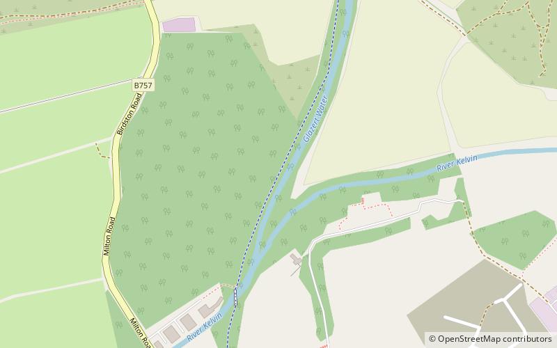
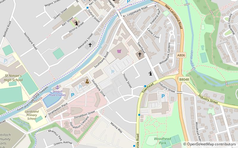
Strathkelvin Railway Path is rail trail following the route of several dismantled railway lines extending from Gartcosh to Strathblane. It goes for 10 km from one end to another ()
Coordinates: 55°56'54"N, 4°9'9"W
Address
Kirkintilloch
ContactAdd
Social media
Add
Day trips
Strathkelvin Railway Path – popular in the area (distance from the attraction)
Nearby attractions include: Auld Aisle Cemetery, Luggie Aqueduct, Lenzie Moss, Adamslie Park.
Frequently Asked Questions (FAQ)
Which popular attractions are close to Strathkelvin Railway Path?
Nearby attractions include Luggie Aqueduct, Kirkintilloch (16 min walk), Lenzie Moss, Kirkintilloch (22 min walk).


