Coneybury Henge, Stonehenge

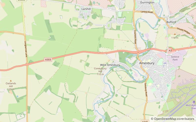
Map
Facts and practical information
Coneybury Henge is a henge which is part of the Stonehenge Landscape in Wiltshire, England. The henge, which has been almost completely flattened, was only discovered in the 20th century. Geophysical surveys and excavation have uncovered many of its features, which include a northeast entrance, an internal circle of postholes, and fragments of bone and pottery. ()
Coordinates: 51°10'25"N, 1°48'33"W
Address
Stonehenge
ContactAdd
Social media
Add
Day trips
Coneybury Henge – popular in the area (distance from the attraction)
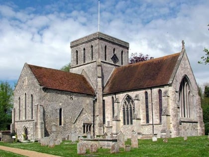
Nearby attractions include: Church of St Mary and St Melor, Woodhenge, Stonehenge Cursus, Bush Barrow.
Frequently Asked Questions (FAQ)
Which popular attractions are close to Coneybury Henge?
Nearby attractions include Vespasian's Camp, Stonehenge (12 min walk), Bluestonehenge, Stonehenge (13 min walk), Nile Clumps, Stonehenge (17 min walk), North Wessex Downs, Stonehenge (18 min walk).


