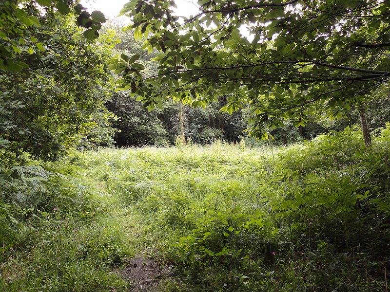
Bryngarw Country Park, Bridgend
Map
Gallery
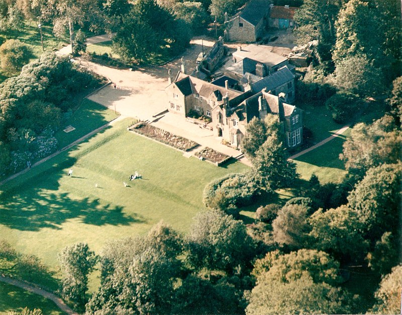
Facts and practical information
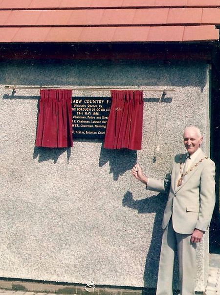
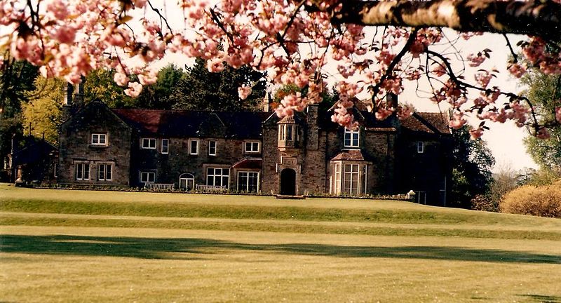
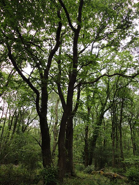
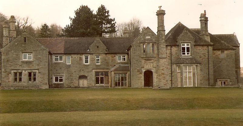
Bryngarw Country Park is made up of 48 hectares and is situated on the west bank of the Afon Garw, at the mouth of the Garw Valley in the Bridgend County Borough, Wales. ()
Elevation: 233 ft a.s.l.Coordinates: 51°33'15"N, 3°34'49"W
Address
Bridgend
ContactAdd
Social media
Add
Day trips
Bryngarw Country Park – popular in the area (distance from the attraction)
Nearby attractions include: McArthur Glen, Coity Castle, Newcastle Castle, Old Bridge.
Frequently Asked Questions (FAQ)
How to get to Bryngarw Country Park by public transport?
The nearest stations to Bryngarw Country Park:
Train
Train
- Tondu (21 min walk)
- Sarn (30 min walk)


