Bull Cross, Cotswold Water Park
Map

Map

Facts and practical information
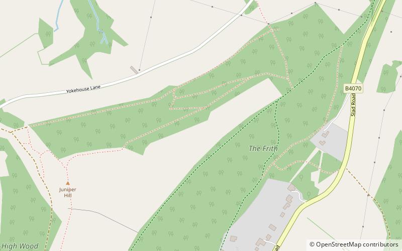
Bull Cross, The Frith and Juniper Hill is a 42.33-hectare biological and geological Site of Special Scientific Interest in Gloucestershire, notified in 1954. The site is listed in the ‘Stroud District’ Local Plan, adopted November 2005, Appendix 6 as an SSSI and Regionally Important Geological Site. ()
Coordinates: 51°46'23"N, 2°11'15"W
Address
Cotswold Water Park
ContactAdd
Social media
Add
Day trips
Bull Cross – popular in the area (distance from the attraction)
Nearby attractions include: Kimsbury hill fort, Church of All Saints, Subscription Rooms, The Museum in the Park.


