Uplands, Swansea
Map
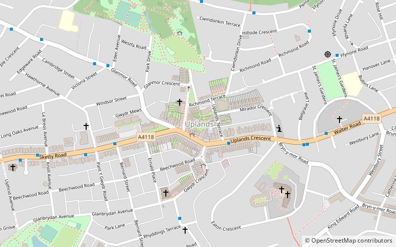
Map

Facts and practical information
Uplands is a suburb and community of Swansea, Wales. It lies about a mile to the west of Swansea city centre, and falls within the Uplands electoral ward. It is centred on the A4118 road, which links Swansea city centre and Sketty. The main road begins as Walter Road from the east, and becomes Sketty Road towards the west. Much of the area is hilly. The population of the community and ward in 2011 was 15,665 and in terms of Welsh identity had the lowest percentage in the county. ()
Coordinates: 51°37'7"N, 3°58'1"W
Day trips
Uplands – popular in the area (distance from the attraction)
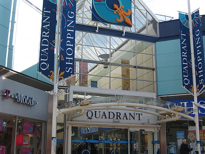
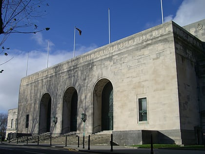
Nearby attractions include: Quadrant Shopping Centre, St. Helen's Rugby and Cricket Ground, Swansea War Memorial, Swansea Castle.
Frequently Asked Questions (FAQ)
Which popular attractions are close to Uplands?
Nearby attractions include Dylan Thomas' Childhood Home, Swansea (5 min walk), Cwmdonkin Park, Swansea (6 min walk), Dharmavajra Kadampa Buddhist Centre, Swansea (7 min walk), St. Helen's Rugby and Cricket Ground, Swansea (11 min walk).
How to get to Uplands by public transport?
The nearest stations to Uplands:
Bus
Train
Bus
- Uplands PO 2 • Lines: 10, 20 (2 min walk)
- Bernard Street • Lines: 10, 20 (5 min walk)
Train
- Swansea (32 min walk)

