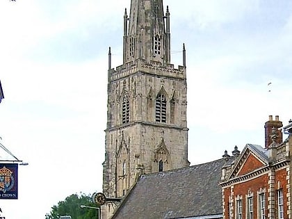
Ladybellegate Street, Gloucester
Map
Gallery
Facts and practical information
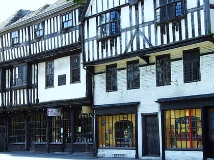
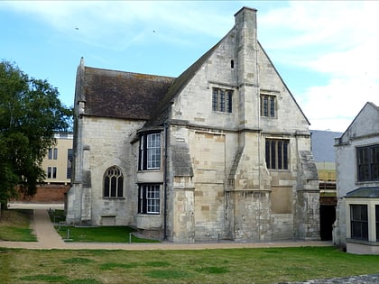
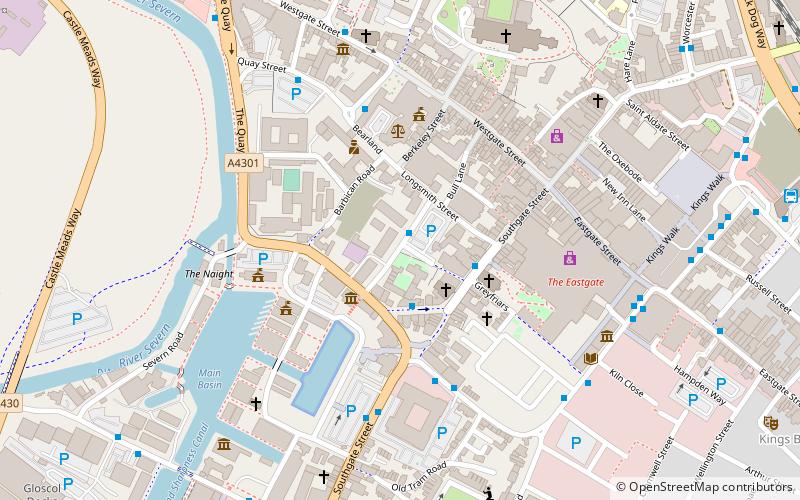
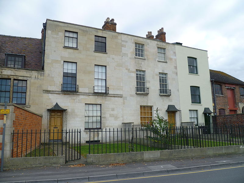
Ladybellegate Street is a street in Gloucester that runs from Longsmith Street in the north to Commercial Road in the south. It is joined only by Blackfriars on its eastern side. The former Blackfriars monastery is located on the eastern side of the street together with three grade II* listed town houses and the former premises of Talbots Bottlers. ()
Coordinates: 51°51'52"N, 2°14'57"W
Address
Gloucester
ContactAdd
Social media
Add
Day trips
Ladybellegate Street – popular in the area (distance from the attraction)
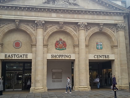
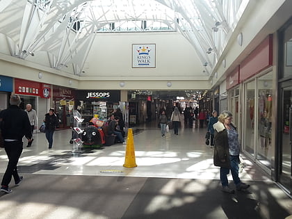
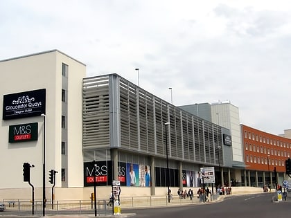
Nearby attractions include: Gloucester Cathedral, Eastgate Shopping Centre, Kings Walk Shopping Centre, Gloucester Quays Outlet.
Frequently Asked Questions (FAQ)
Which popular attractions are close to Ladybellegate Street?
Nearby attractions include Blackfriars, Gloucester (1 min walk), Longsmith Street, Gloucester (2 min walk), Soldiers of Gloucestershire Museum, Gloucester (2 min walk), St Kyneburgh's Chapel, Gloucester (3 min walk).
How to get to Ladybellegate Street by public transport?
The nearest stations to Ladybellegate Street:
Train
Train
- Gloucester (12 min walk)


