Caer Llugwy, Snowdonia National Park

Gallery (1)
Map
Map
Facts and practical information
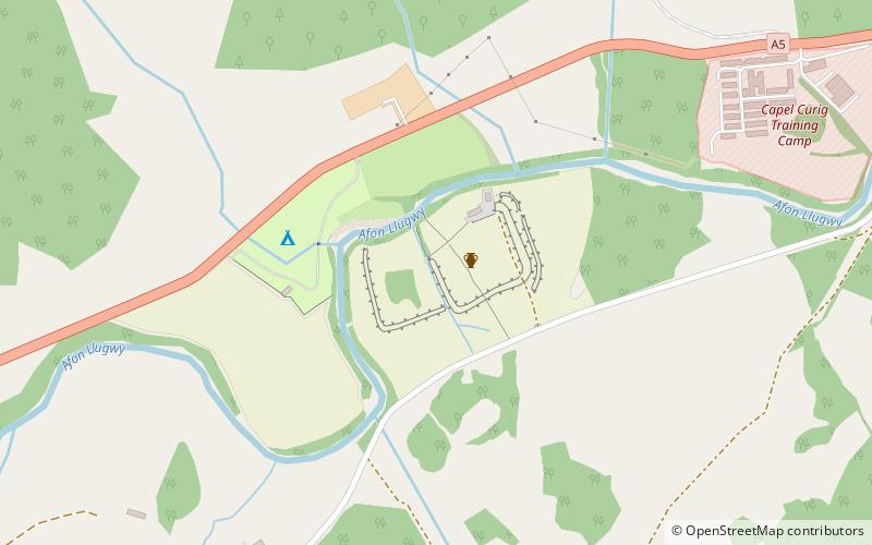
Caer Llugwy, or Bryn-y-Gefeiliau, is the site of a Roman fort in a loop of the Afon Llugwy near Capel Curig in Conwy, Wales. It is notable in that there has been little development in the surrounding landscape: the valley in which it is situated being much as it was 2,000 years ago. It is a scheduled historic monument. The remains are on private land. ()
Coordinates: 53°5'52"N, 3°52'29"W
Day trips


