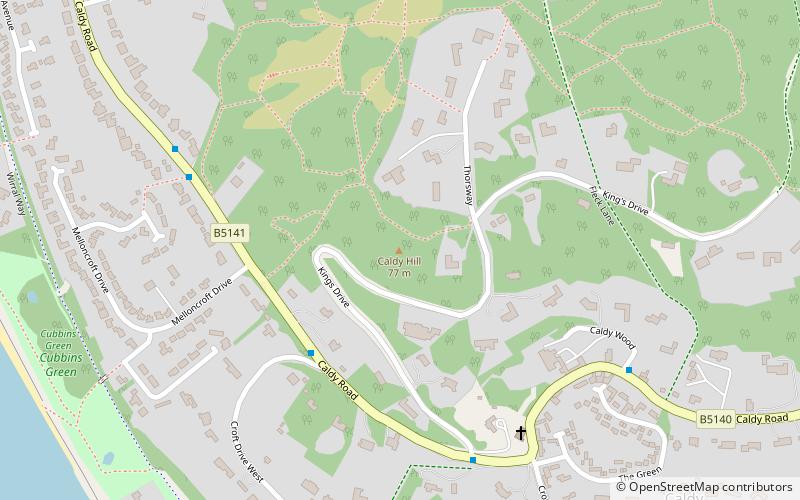
Caldy Hill, West Kirby
Map

Map

Facts and practical information
Caldy Hill is an area of heath and woodland on a sandstone outcrop on the Wirral Peninsula. The land was bought by Hoylake District Council between 1897 and 1974. The village of Caldy is nearby. ()
Created: 1897Elevation: 243 ft a.s.l.Coordinates: 53°21'39"N, 3°10'0"W
Day trips
Caldy Hill – popular in the area (distance from the attraction)
Nearby attractions include: Coronation Gardens, Hoylake and West Kirby War Memorial, St Bridget's Church, St Andrew's Church.
Frequently Asked Questions (FAQ)
Which popular attractions are close to Caldy Hill?
Nearby attractions include Church of the Resurrection and All Saints, Greasby (6 min walk), St Bridget's Church, West Kirby (18 min walk), Coronation Gardens, West Kirby (20 min walk), Ashton Park, West Kirby (24 min walk).


