Larne Lough

Map
Facts and practical information
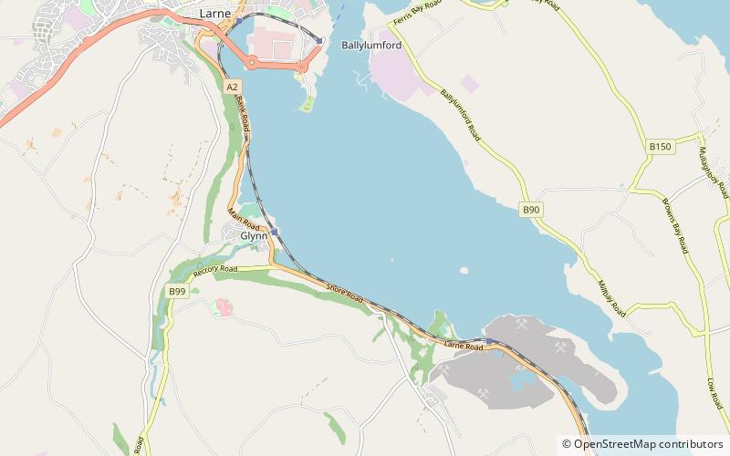
Larne Lough, historically Lough Larne, is a sea loch or inlet in County Antrim, Northern Ireland. It lies between the Islandmagee peninsula and the mainland. At its mouth is the town of Larne. It is designated as an area of special scientific interest, a special protection area, and a Ramsar site to protect the wetland environment, particularly due to the presence of certain bird species and shellfish. ()
Elevation: 0 ft a.s.l.Coordinates: 54°49'39"N, 5°47'24"W
Location
Northern Ireland
ContactAdd
Social media
Add
Day trips
Larne Lough – popular in the area (distance from the attraction)
Nearby attractions include: Ballygally Castle, Chaine Memorial, Blackhead Lighthouse, Larne Town Hall.


