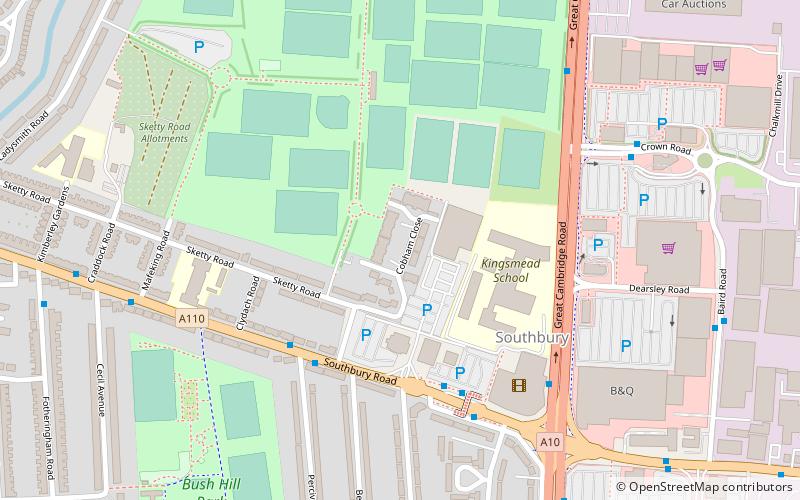
Southbury Road, London
Map

Map

Facts and practical information
Southbury Road is a road in Enfield, North London, that runs from Enfield Town in the west to Nags Head Road in the east. It is part of the A110 road. ()
Coordinates: 51°39'7"N, 0°3'49"W
Address
192 Southbury RoadEnfield (Southbury)London EN1 1YP
ContactAdd
Social media
Add
Day trips
Southbury Road – popular in the area (distance from the attraction)
Nearby attractions include: Forty Hall, Christ Church United Reformed Church, St Andrew's Enfield, The Wonder.
Frequently Asked Questions (FAQ)
Which popular attractions are close to Southbury Road?
Nearby attractions include London Borough of Enfield, London (13 min walk), St Andrew's Enfield, London (21 min walk), Enfield, London (23 min walk).
How to get to Southbury Road by public transport?
The nearest stations to Southbury Road:
Bus
Train
Bus
- Percival Road • Lines: 121, 191, 231, 307, 313, 317, 629 (4 min walk)
- Great Cambridge Road • Lines: 121, 191, 231, 307, 313, 317, 629 (5 min walk)
Train
- Southbury (14 min walk)
- Enfield Town (17 min walk)

 Tube
Tube


