Castle Hill, Cambridge
Map

Map

Facts and practical information
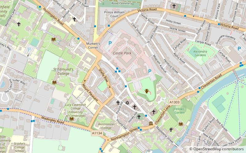
Castle Hill is a knoll located in Cambridge, England, located in the Castle ward of the city. Cambridgeshire County Council's former headquarters, Shire Hall, are located directly adjacent to Castle Hill. ()
Elevation: 75 ft a.s.l.Coordinates: 52°12'46"N, 0°6'46"E
Day trips
Castle Hill – popular in the area (distance from the attraction)
Nearby attractions include: Bridge of Sighs, Holy Sepulchre, Cambridge Castle, School of Pythagoras.
Frequently Asked Questions (FAQ)
Which popular attractions are close to Castle Hill?
Nearby attractions include Castle Street Methodist Church, Cambridge (3 min walk), Cambridge Castle, Cambridge (4 min walk), St Peter's Church, Cambridge (4 min walk), St Giles' Church, Cambridge (4 min walk).
How to get to Castle Hill by public transport?
The nearest stations to Castle Hill:
Bus
Bus
- Shire Hall • Lines: Citi 5, Citi 6 (1 min walk)
- St Peter's Street • Lines: Citi 5, Citi 6 (4 min walk)


