Castle Hill, Great Torrington
Map

Map

Facts and practical information
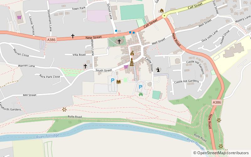
There are two hills named Castle Hill within the immediate environs of Great Torrington in Devon, England. The first is within the town and is the site of the Norman & mediaeval castles, but was probably an Iron Age hill fort before this.50.9509°N 4.1436°W / 50.9509; -4.1436 ()
Coordinates: 50°57'3"N, 4°8'37"W
Address
Great Torrington
ContactAdd
Social media
Add
Day trips
Castle Hill – popular in the area (distance from the attraction)
Nearby attractions include: St Michael and All Angels, Rolle Canal, RHS Garden Rosemoor, The Plough Arts Centre.
Frequently Asked Questions (FAQ)
Which popular attractions are close to Castle Hill?
Nearby attractions include The Plough Arts Centre, Great Torrington (3 min walk), Rolle Canal, Great Torrington (5 min walk), St Michael and All Angels, Great Torrington (6 min walk).


