Brea Hill
Map

Gallery

Facts and practical information
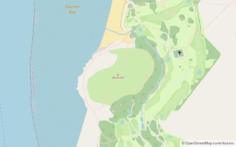
Brea Hill, pronounced "Bray Hill" is a round hill beside the River Camel estuary in north Cornwall, England, United Kingdom The hill is 62 metres high and there are Bronze Age tumuli at the summit. The underlying geology in this area of Cornwall is Devonian slates. ()
Coordinates: 50°33'26"N, 4°55'34"W
Day trips
Brea Hill – popular in the area (distance from the attraction)
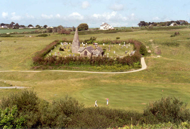
Nearby attractions include: Prideaux Place, St Enodoc's Church, Polzeath, Camel Ski School.


