Vicarage Vets, Saxilby

Gallery (1)
Map
Map
Facts and practical information
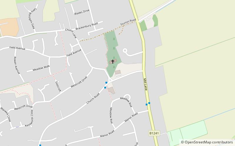
Vicarage Vets (address: 52 Church Road, Saxilby) is a place located in Saxilby (England kingdom) and belongs to the category of sightseeing.
It is situated at an altitude of 72 feet, and its geographical coordinates are 53°16'27"N latitude and 0°39'31"W longitude.
Among other places and attractions worth visiting in the area are: Skellingthorpe (village, 82 min walk), All Saints' Church (church, 93 min walk), Doddington Hall, Lincoln (museum, 96 min walk).
Coordinates: 53°16'27"N, 0°39'31"W
Day trips


