Chicken Rock
Map

Map

Facts and practical information
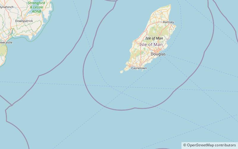
Chicken Rock, part of Rushen parish, is the southernmost island administered by the Isle of Man. It lies southwest of the Calf of Man, 4.5 kilometres off Spanish Head on the Manx mainland. The most prominent feature of the rock is the 19th century Chicken Rock Lighthouse. The 44 metres lighthouse was first lit in 1875, and is owned and maintained by the Northern Lighthouse Board. ()
Location
Rushen
ContactAdd
Social media
Add
Day trips
Chicken Rock – popular in the area (distance from the attraction)
Nearby attractions include: Mull Hill, Chicken Rock, Bradda Hill, Isle of Man Railway Museum.


