St Michael's Church

Gallery (1)
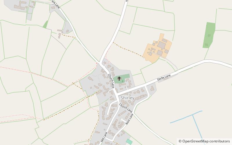
Map
Map
Facts and practical information
St Michael's Church, Shirley is a Grade II* listed parish church in the Church of England in Shirley, Derbyshire. ()
Coordinates: 52°58'20"N, 1°40'33"W
Location
Church LnAshbourne DE6 3AS England
ContactAdd
Social media
Add
Day trips


