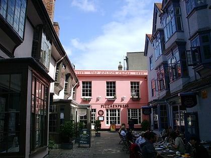
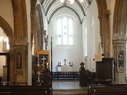
Church of St Peter-le-Bailey, Oxford
Map
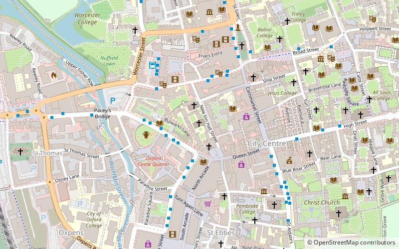
Map

Facts and practical information
The Church of St Peter-le-Bailey is a church on New Inn Hall Street in central Oxford, England. It was formerly next to Bonn Square, which was originally the churchyard. Now it is located halfway up New Inn Hall Street to the north. Several churches have existed on or close to the site. The current church is now the chapel of St Peter's College, Oxford. ()
Architectural style: Victorian architectureCoordinates: 51°45'9"N, 1°15'38"W
Day trips
Church of St Peter-le-Bailey – popular in the area (distance from the attraction)
Nearby attractions include: Cornmarket Street, Queen Street, Clarendon Centre, Westgate.
Frequently Asked Questions (FAQ)
Which popular attractions are close to Church of St Peter-le-Bailey?
Nearby attractions include St Peter's College, Oxford (1 min walk), New Inn Hall Street, Oxford (1 min walk), Wesley Memorial Church, Oxford (1 min walk), Oxford Union, Oxford (2 min walk).
How to get to Church of St Peter-le-Bailey by public transport?
The nearest stations to Church of St Peter-le-Bailey:
Bus
Train
Bus
- County Hall • Lines: 4, 4A, 4B, 4C (2 min walk)
- New Road • Lines: 280, U1 (2 min walk)
Train
- Oxford (11 min walk)


