Cleeve Hill Golf Course, Cotswold Water Park

Gallery (1)
Map
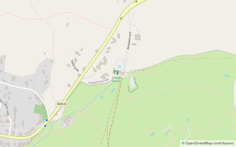
Map
Facts and practical information
Cleeve Hill Golf Course is a place located in Cotswold Water Park (England kingdom) and belongs to the category of golf.
It is situated at an altitude of 853 feet, and its geographical coordinates are 51°56'36"N latitude and 2°1'4"W longitude.
Among other places and attractions worth visiting in the area are: Prescott Speed Hill Climb, Cheltenham (sport venue, 40 min walk), Cleeve Hill (nature, 43 min walk), St Michael & All Angels Church, Bishop's Cleeve (church, 46 min walk).
Coordinates: 51°56'36"N, 2°1'4"W
Day trips