Church of St John the Evangelist, Nottingham
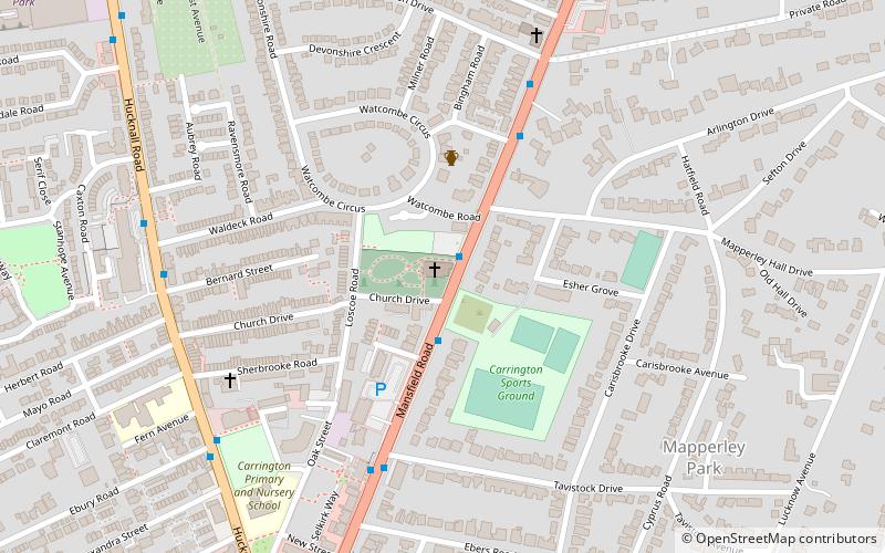
Map

Map

Facts and practical information
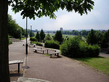
St. John the Evanglist, Carrington is a parish church in the Church of England in Carrington, Nottingham. ()
Coordinates: 52°58'32"N, 1°9'2"W
Day trips
Church of St John the Evangelist – popular in the area (distance from the attraction)
Nearby attractions include: New Art Exchange, Forest Recreation Ground, The Arboretum, Church Cemetery.
Frequently Asked Questions (FAQ)
Which popular attractions are close to Church of St John the Evangelist?
Nearby attractions include A Room Full of Butterflies, Nottingham (14 min walk), Juggernaut of Nought, Nottingham (15 min walk), Mansfield Road Baptist Church, Nottingham (15 min walk), St Jude's Church, Nottingham (15 min walk).
How to get to Church of St John the Evangelist by public transport?
The nearest stations to Church of St John the Evangelist:
Bus
Tram
Bus
- Church Drive • Lines: 56, 57, 58, 59, 87, 88, 89, 89A, Calverton Connection, N58, Pronto, Sa (2 min walk)
- Bingham Road • Lines: 56, 57, 58, 59, 87, 88, 89, 89A, Calverton Connection, N58, Pronto, Sa (4 min walk)
Tram
- Beaconsfield Street • Lines: 1, 2 (24 min walk)
- Noel Street • Lines: 1, 2 (25 min walk)


