Cindery Island, Brightlingsea

Map
Facts and practical information
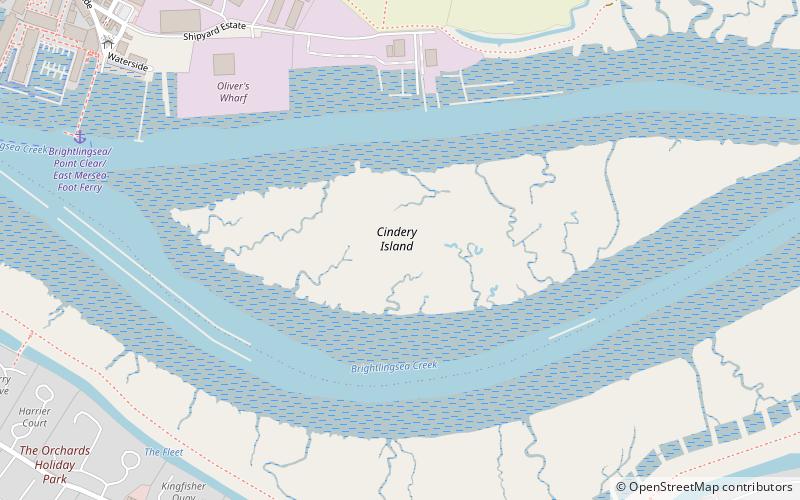
Cindery Island is at the mouth of Brightlingsea Creek on the east coast of England in the county of Essex. ()
Coordinates: 51°48'10"N, 1°1'49"E
Address
Brightlingsea
ContactAdd
Social media
Add
Day trips
Cindery Island – popular in the area (distance from the attraction)
Nearby attractions include: Device Forts, Clacton Pier, St Osyth's Priory, Clacton Town Hall.
Frequently Asked Questions (FAQ)
Which popular attractions are close to Cindery Island?
Nearby attractions include Waterside Marina, Brightlingsea (10 min walk), Device Forts, Brightlingsea (23 min walk).


