Trek Zone

Lydney Community Centre, Lydney

#4 among attractions in Lydney

City hall
Lydney Community Centre

Facts and practical information

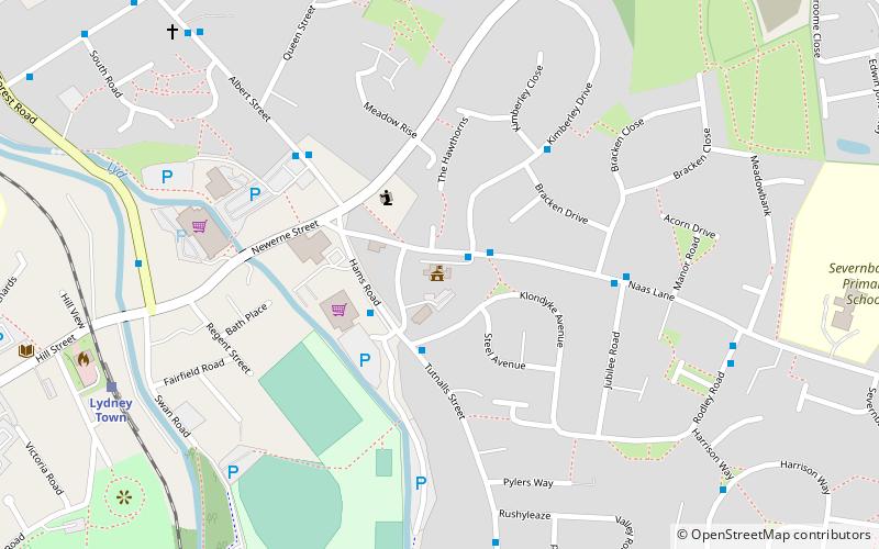
Lydney Community Centre (address: Naas Lane) is a place located in Lydney (England kingdom) and belongs to the category of city hall.

It is situated at an altitude of 56 feet, and its geographical coordinates are 51°43'36"N latitude and 2°31'32"W longitude.

Among other places and attractions worth visiting in the area are: Recreational Trust Ground (sport, 6 min walk), Dean Forest Railway (museum, 22 min walk), Lydney Park (museum, 37 min walk).

Coordinates: 51°43'36"N, 2°31'32"W
Address

Naas LaneLydney United Kingdom

Contact
Social media
Add

Lydney plan & book

Unleash the traveler in you — discover the cheapest flight deals, find the perfect hotel or hostel nearby, and search for the best car rental prices. Travel at your own pace to discover new places and enjoy your journey.

Day trips

Lydney Community Centre – popular in the area (distance from the attraction)

Nearby attractions include: Dean Forest Railway, Berkeley Castle, WWT Slimbridge, St Briavels Castle.

  • dean forest railway lydney1.7 miNW
  • berkeley castle4 miSE
  • wwt slimbridge5.2 miE
  • st briavels castle lydney5 miW
  • dean heritage centre forest of dean4.9 miN
  • clearwell caves4.8 miNW
  • dr jenners house berkeley3.9 miSE
  • puzzlewood5.2 miNW
  • darkhill ironworks forest of dean4.5 miNW
  • clearwell castle5 miNW
  • lydney park1.4 miW

Where to next? Visit england England region page or discover the top tourist attractions in United Kingdom.